> From the WeatherWatch archives
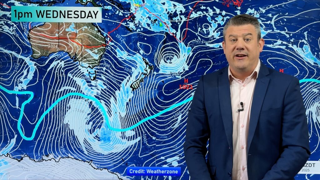
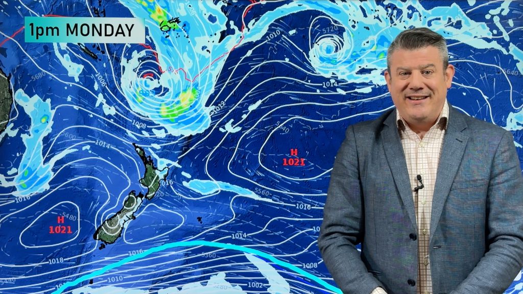
A very large storm well south of New Zealand may be big enough to disrupt the weather right across New Zealand late Sunday through to late Tuesday, reports WeatherWatch.co.nz.
Earlier in the week the long range computer models used by New Zealand weather forecasters showed a large high moving in from the Tasman Sea. While that high is still in the forecast it is now being challenged by a very large low pressure system churning in the Southern Ocean.
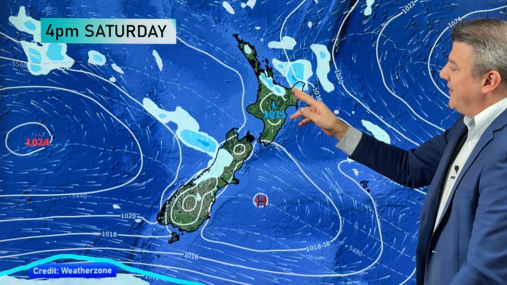
The air pressure gradient between this deep low and the very strong high in the Tasman looks as though it will push a strong south westerly flow across New Zealand.
Generally speaking this brings sunny weather to Whangarei, eastern Coromandel Peninsula, Bay of Plenty, Nelson, Marlborough and eastern areas but showery conditions to many other main centres, such as Auckland, Hamilton, New Plymouth, Palmerston North, Wanganui, Taupo, Dunedin, Greymouth and Invercargill.
WeatherWatch.co.nz will watch the models closely and update you on the weekend forecast tomorrow from 5am.
Homepage image: Brynderwyns in a south west squall / Ben Haarmann
Comments
Before you add a new comment, take note this story was published on 22 Jul 2010.


Add new comment
Deano on 22/07/2010 7:02am
Which model ????
Can not see it on EC or GFS ?
Reply
WW Forecast Team on 22/07/2010 7:44am
Hi Deano, the latest models now show it will more likely be Mon/Tues – a bit of unfortunate timing with that news story going out!
Cheers,
Philip Duncan
Reply
sw on 22/07/2010 4:00am
The air pressure gradient between this deep low and the very strong high in the Tasman looks as though it will push a strong south westerly flow across New Zealand.
No doubt spring is not too far and spring often brings the worst weather of the entire year.
Reply