Next 7 days: South Island: Frosty, dry. North Island: Wetter, milder
18/06/2020 6:07am

> From the WeatherWatch archives
The next 7 days ahead will be a tale of two islands with sub-tropical winds off and on for the North Island and heavy frosts returning to the South Island.
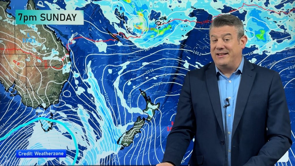
A giant belt of high pressure will stretch from central inland Australia, south of New Zealand and brush the South Island, before stretching out east over the Chatham Islands and then, later next week, all the way to Rarotonga.
This high will do two things: 1) Keep winds light and skies clear through inland parts of the South Island, encouraging colder daytime highs and more frosts. 2) Encourage milder, wetter and cloudier sub-tropical nor’easters over the upper North Island.
The Frost Forecaster at www.RuralWeather.co.nz shows a number of frosty nights are on the way:


Meanwhile, at the other end of the country the public rain data at www.RuralWeather.co.nz is showing more rain and cloud on the way (and milder).
Forecast rainfall totals around Auckland’s catchment areas are still below what would be ideal.


- WeatherWatch.co.nz & www.RuralWeather.co.nz
Comments
Before you add a new comment, take note this story was published on 18 Jun 2020.
Latest Video

Windy westerlies return next week + Vanuatu/Fiji tropical cyclone risk update
(No video Friday, next update is on Sunday) — NZ has a cooler/colder change coming in on Friday as a…
Related Articles
Windy westerlies return next week + Vanuatu/Fiji tropical cyclone risk update
(No video Friday, next update is on Sunday) — NZ has a cooler/colder change coming in on Friday as a…
Southerly coming Friday, windy westerlies to return next week + Tropical cyclone update
A colder change is coming for southern NZ later on Thursday and into Friday, with a southerly flow going nationwide…
Refreshing Friday coming + update on possible Vanuatu tropical cyclone
Hot weather will give way to cooler, or more refreshing, weather by the end of this week as a southerly…


Add new comment