> From the WeatherWatch archives
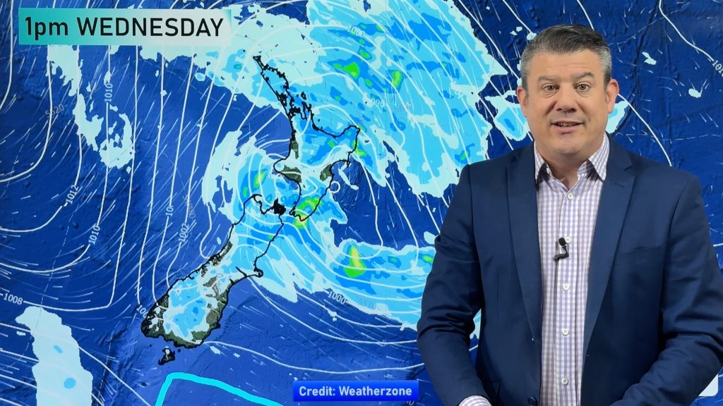
The deep low that brought flooding, slips, powercuts and a dramatic thunderstorm to the North Island over the past 36 hours is today expected to remain centered just off East Cape meaning North Islanders are in for another windy, wet, day.
The wettest regions will be those in the east mainly East Cape, Gisborne, Wairoa, Napier, Hastings, Masterton and Wairarapa. Other regions in the North Island may see some morning rain or showers but conditions generally drying out as the day progresses.
However the southerly or south easterly will make for a cold day in the east of the island with even Auckland only reaching 11 or 12 today. Those winds will be gusty in most places – so wear extra clothing today to stay warm.
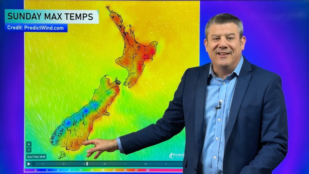
A more east or north east flow in the South Island will make for another chilly day for Marlborough and Canterbury too, while light winds in Otago and Southland means more highs closer to zero than 10 for some and certainly single digits for most.
The low will linger for another day or so before clearing the country late on Wednesday, possibly Thursday for places like Gisborne.
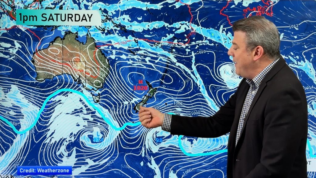
Meanwhile all eyes are on the next low – possibly a similar sized rain and wind maker this Saturday and Sunday. WeatherWatch.co.nz will keep you posted!
Keep your updates coming in!
Something that makes this site so great is seeing reader’s comments. Thanks for all the weather updates over the past few days!
Comments
Before you add a new comment, take note this story was published on 29 Jun 2009.


Add new comment
Elizabeth on 30/06/2009 3:03am
Hi Phil
Can hardly believe there is yet another storm heading our way so soon, we are still waiting for the current one to go. I do love a good storm but I am feeling a bit “storm weary” now after so many. Hope the next one isn’t going to be too severe, just have to wait and see.
Cheers
Elizabeth
Reply
Dave on 29/06/2009 10:16pm
Hi Phil
What are your thoughts on that next low? It appears as if it will come on us very quickly Saturday with easterly and rain for northern half. What are your thoughts on timing?
Cheers
Dave
Reply
WW Forecast Team on 29/06/2009 11:00pm
Hi Dave, thanks for the question. The computer models this morning showed it weaker than yesterday’s two runs… but it still has the potential to bring heavy rain to the west and north. It’s moving in from the west so ignore the ground level winds. Won’t know for another day or so as to how severe it will be. Has the potential to be nasty but our confidence levels this far out remain low.
Cheers
Reply