> From the WeatherWatch archives
Some light snow did manage to make it to about 250 metres above sea level in inland Canterbury this morning but only for a brief time. Snow mainly started to settle above 450 metres.
Quite a difference from yesterday when temperatures were in the mid 20’s about the Canterbury region with strong northwesterly winds blowing in many places, however it is the type of situation that leads to a southwesterly front approaching.
Today is quite cold across the country, the east coast of the North Island is still hanging on to warm temperatures though before a southwest change is due to move through later this afternoon and evening.
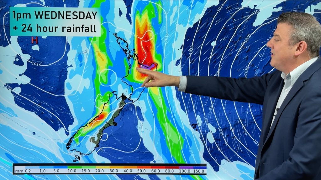
Rain for the previous 24 hours has accumulated the most in the southwestern corner of the South Island and also about inland parts of South and Mid Canterbury. Mount Cook managed 36mm while Mount Somers got 30.6mm. For the North Island Taranaki has received the most so far with up to 30mm falling.
I had a drive out to Mount Somers this morning and took a photo of the snow line at the base of the mountain.

Report images / Aaron Wilkinson
By weather analyst Aaron Wilkinson – WeatherWatch.co.nz
Comments
Before you add a new comment, take note this story was published on 3 Nov 2012.


Add new comment
Hay on 3/11/2012 5:24am
Was snowing down to 280m in the Fairlie area this morning, Settled above 300m with a dusting in the town.
Reply