Severe weather risks this week – then we have another big high pressure belt moving in (+6 Maps)
5/07/2020 8:54pm

> From the WeatherWatch archives
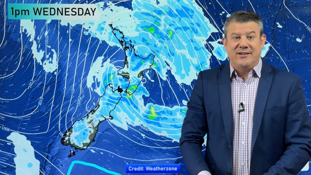
The first three days of this week will be unsettled, with Wednesday an especially colder and windier day across New Zealand.
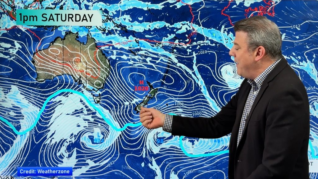
However, by Thursday and into the weekend high pressure returns – and as we said in our July climate outlook (issued June 30) this incoming high pressure belt looks “significant” .
This means rainfall is about to drop to below normal again for most parts of the country.
The positive is that for those who do need further rain this week still has plenty of downpour risks, but drier weather moves in by late this week.
The next big high pressure could linger from late this week, through the weekend and across all of next week , bringing only a few showers here and there otherwise leaning dry.
The next few days ahead bring a number of severe weather risks before the weather calms down. From severe gales to heavy snow, thunderstorms and squally showers.
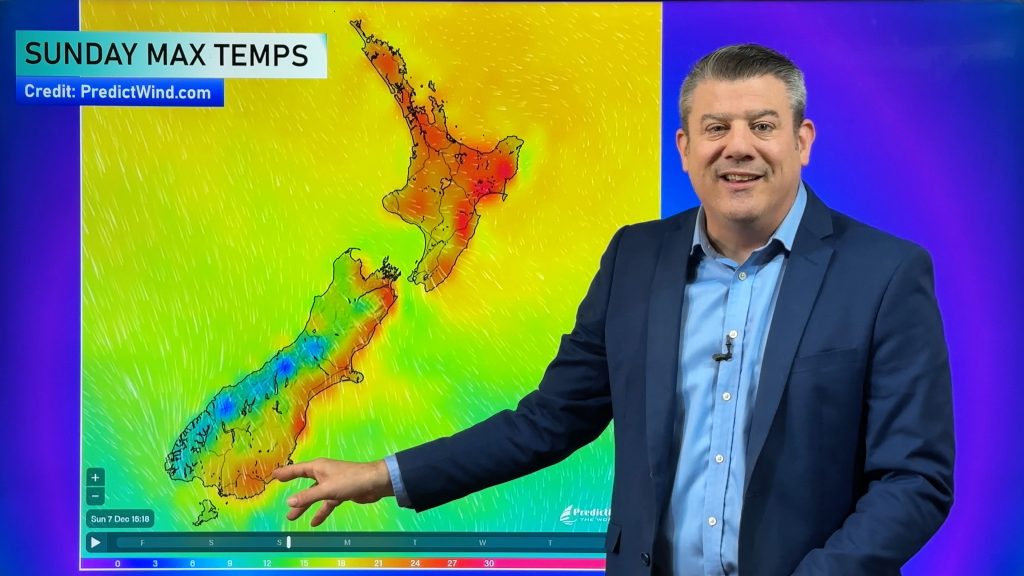
Monday temperatures are warmer than average to average, nationwide. By Wednesday, most of NZ is normal to colder than normal for the day.
Track thunderstorms live – and see the thunderstorm risk areas by going here: www.weatherwatch.co.nz/maps-radars/lightning/blitzortung
Don’t forget, you can now find all MetService tax funded land warnings from the WeatherWatch website, by going here: www.weatherwatch.co.nz/maps-radars/warnings/metservice
You can also view Niwa’s soil moisture deficit maps by scrolling to the bottom of www.RuralWeather.co.nz


- WeatherWatch.co.nz and RuralWeather.co.nz
Comments
Before you add a new comment, take note this story was published on 5 Jul 2020.


Add new comment
Phil Clements on 5/07/2020 9:21pm
Is it too early to say the spring westerlies will start to blow from about the third week of July?? It looks like the coldest weather of the year has now passed.
Reply
WW Forecast Team on 5/07/2020 11:56pm
Hi Phil C, yes probably is – although what you’re getting at! NZ tends to have “shots” of being cold, then the westerlies kick in and we’re back to the usual spring/autumn weather. Have to remember August 2011 though – a major southerly that saw snow flurries in Auckland City itself and snow on the hills of Northland! So we can always get that sudden brutal southerly.
Cheers
Phil D
Reply
Phil Clements on 6/07/2020 3:55am
I remember that well, Lowest Maximum temperature I’ve recorded in Whenuapai, 8.1 °C at 1:18 p.m. on 17 August 2011….Snow settled on my jacket while I stood on the terrace of an office building in Auckland CBD.
Reply