Severe Weather risks for NZ next 2 days (+10 Maps)
7/07/2020 4:25am
> From the WeatherWatch archives
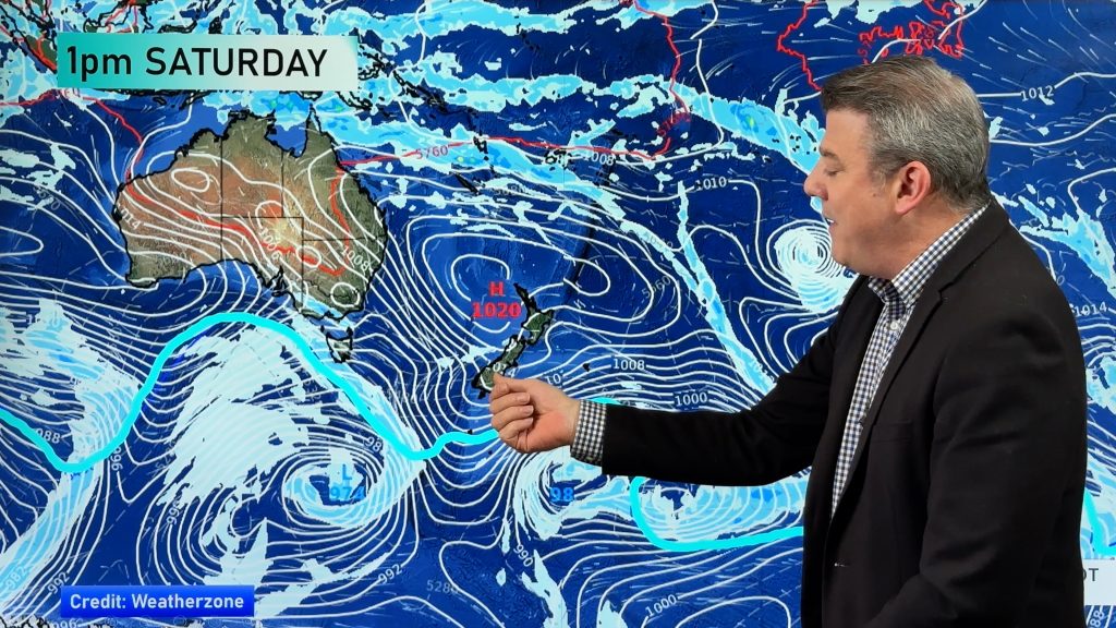
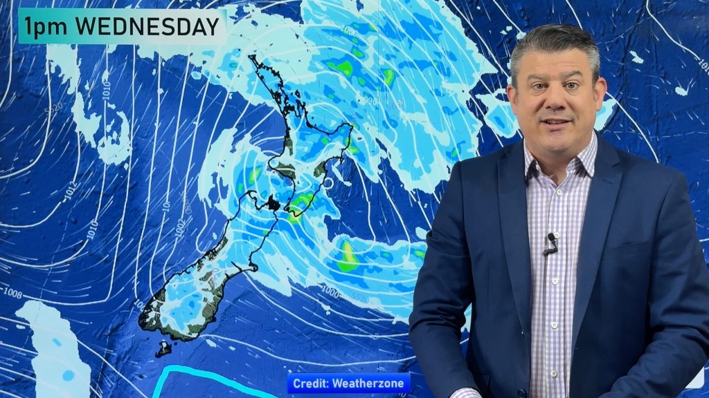
Severe gales, heavy snow and heavy rain are in the forecast for today and Wednesday as a low moves away from NZ and the colder southerly surge comes in behind it.
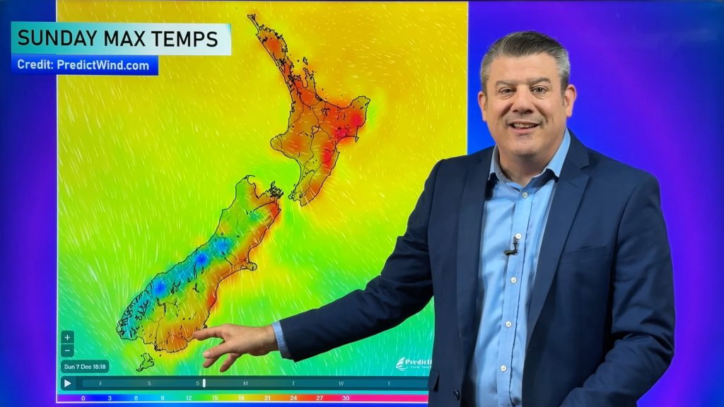
Tuesday is average to above average temperature-wise, Wednesday is average to below average as the southerly spreads as far north as Cape Reinga by the end of the day.
WINDS:
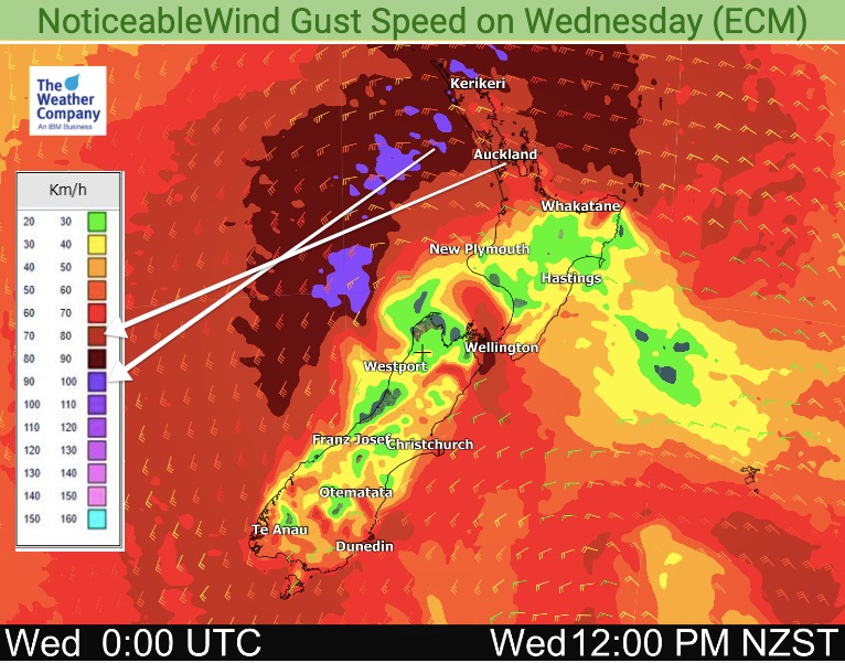
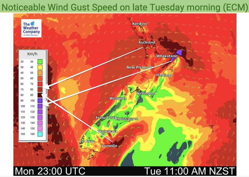
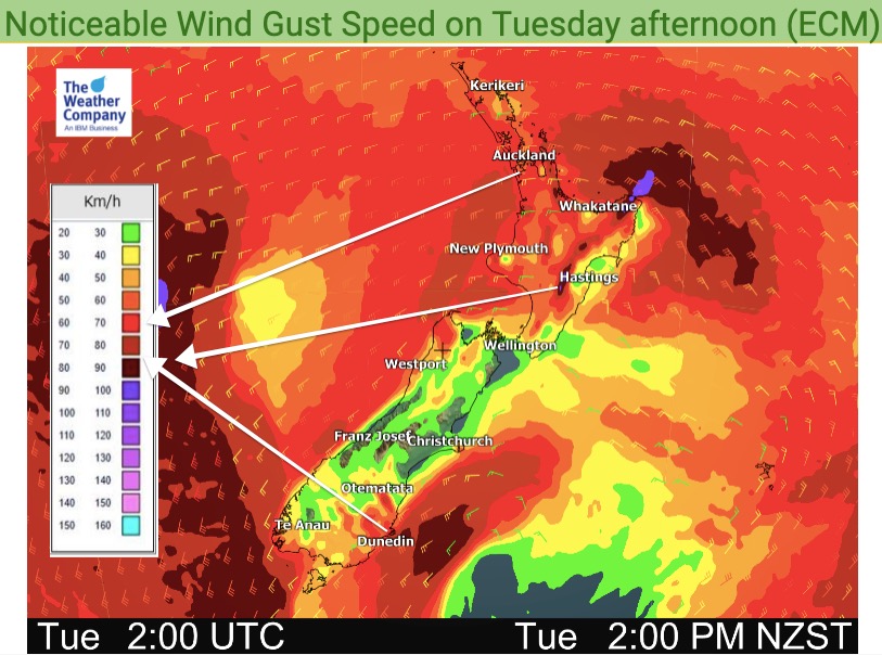
Westerlies surge twice over the North Island, firstly today then the main winds come in on Wednesday with gusts over 100km/h possible in the west from Auckland north to Cape Reinga. Some isolated power cuts and trees down are possible.
Gales will also skirt past Dunedin/Otago Peninsula and the eastern North Island.

RAIN:
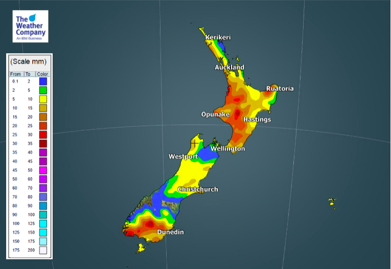
Downpours will mostly impact the western half of the North Island and Southland and Otago.


SNOW:
With the colder southerly coming in later today and across Wednesday expect rain to turn to snow in the ranges and mountains with some heavy falls.

TEMPERATURES DROP:
Wednesday is a wintry day for many places with a temperature drop. After a few days of normal to above normal afternoon temperatures, Wednesday drops to below normal in a number of places.
Many places see temperatures fall by a few degrees – so not as major as it can be, but definitely noticeable!


Bring the weather to life – visit www.RuralWeather.co.nz for NZ’s largest weather data website!
Comments
Before you add a new comment, take note this story was published on 7 Jul 2020.


Add new comment