Saturday’s when NZ reaches ‘peak cold’…but wait, there’s another polar blast next week too? (+4 Maps)
29/05/2019 11:16pm

> From the WeatherWatch archives
The incoming cold blast will peak on Saturday across the entire country but it’s ahead of another cold blast coming next week.
For Thursday the coldest air will start to arrive in the lower South Island later in the day then spreads up the island overnight tonight and across the North Island over Friday and Friday night. The North Island doesn’t actually get the main southerly change until Friday night though – or perhaps even after midnight and going into early Saturday morning.
The end result will be that Saturday is when New Zealand reaches peak cold from this event with low temperatures from the Far North down to the Deep South. The cold blast is carving out a big chunk of the atmosphere as it blasts northwards, reaching as far north as Norfolk Island several hundred kilometres north west of New Zealand, although only just.
Sunday will be equally cold in a number of regions as the southerly flow continues across NZ, shifting rain and showers more from western areas to eastern areas.
Monday the cold eases as a westerly returns. Southland may still have a southerly but most other regions will be several degrees warmer.
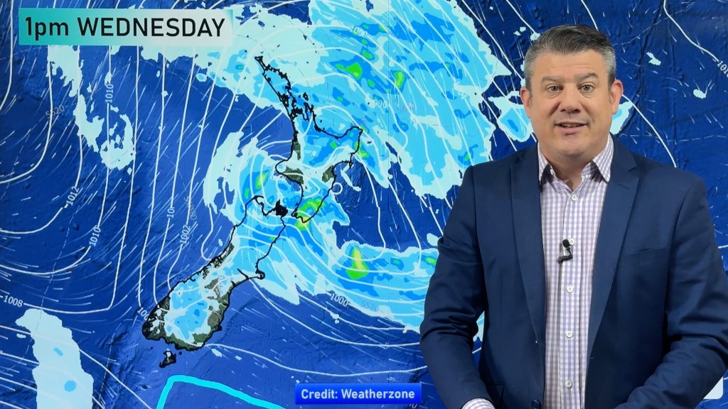
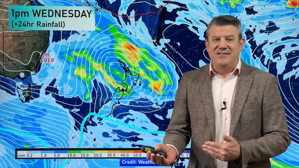
Tuesday looks warmer still with sub-tropical winds again descending over parts of NZ, especially the North Island. But this is all ahead of a sizeable low next week bringing a burst of heavy rain to both islands, then another cold southerly change with snow showers down to a few hundred metres for a time (not locked in yet, but based on reliable data).
So make the most of the warmer than average day today, Thursday. Friday is closer to normal then Saturday and Sunday look below average for many parts of New Zealand.


AIR TEMPERATURE AT HIGHER ALTITUDE SHOWS HOW FAR NORTH THIS COLD BLAST GOES:
– WeatherWatch.co.nz
Comments
Before you add a new comment, take note this story was published on 29 May 2019.


Add new comment