Saturday’s national forecast – Rain in the north may be heavy
30/09/2022 12:39pm

> From the WeatherWatch archives
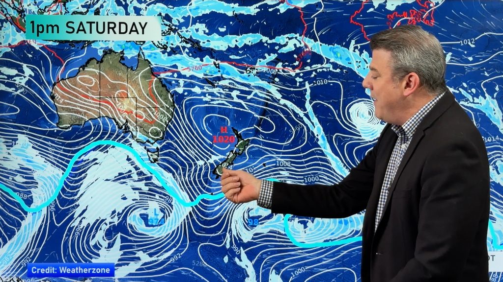
An easterly quarter airflow lies over the North Island today bringing rain, heavy falls are possible. The South Island is more settled with high pressure.
Northland, Auckland, Waikato & Bay Of Plenty
Rain, heavy falls possible in the morning then easing. Another bout of heavy rain moves into Northland around midday as a front pushes in from the north, the front reaches Auckland in the evening then further south around midnight. East to northeasterly winds freshen from afternoon, becoming strong for coastal areas especially in the east.
Highs: 15-19
Western North Island (including Central North Island)
Periods of rain, dry spells possible from afternoon. East to southeasterly winds.
Highs: 8-14
Eastern North Island
Rain, possibly heavy in the morning then easing. East to southeasterly winds.
Highs: 11-14
Wellington
Cloudy with a few spits possible, showers or maybe some rain overnight. Southeasterly winds.
Highs: 12
Marlborough & Nelson
Cloudy for Marlborough with some drizzle, Nelson has partly cloudy skies. Overnight rain for Marlborough, a few spits may get into Nelson. Southeasterly winds.
Highs: 11-13
Canterbury
Cloudy areas north of Banks Peninsula, sunnier further south. Evening drizzle for Kaikoura then spreading down to reach Christchurch overnight., East to northeasterly winds.
Highs: 11-13
West Coast
Mostly sunny, some high cloud north of Haast. Light southerly quarter winds.
Highs: 15-18
Southland & Otago
Frosty to start, some cloud moves into Southland during the morning as light winds tend southwest, cloud brings the chance of a shower. Otago has a sunny day with any early mist or fog clearing.
Highs: 11-15
Comments
Before you add a new comment, take note this story was published on 30 Sep 2022.


Add new comment