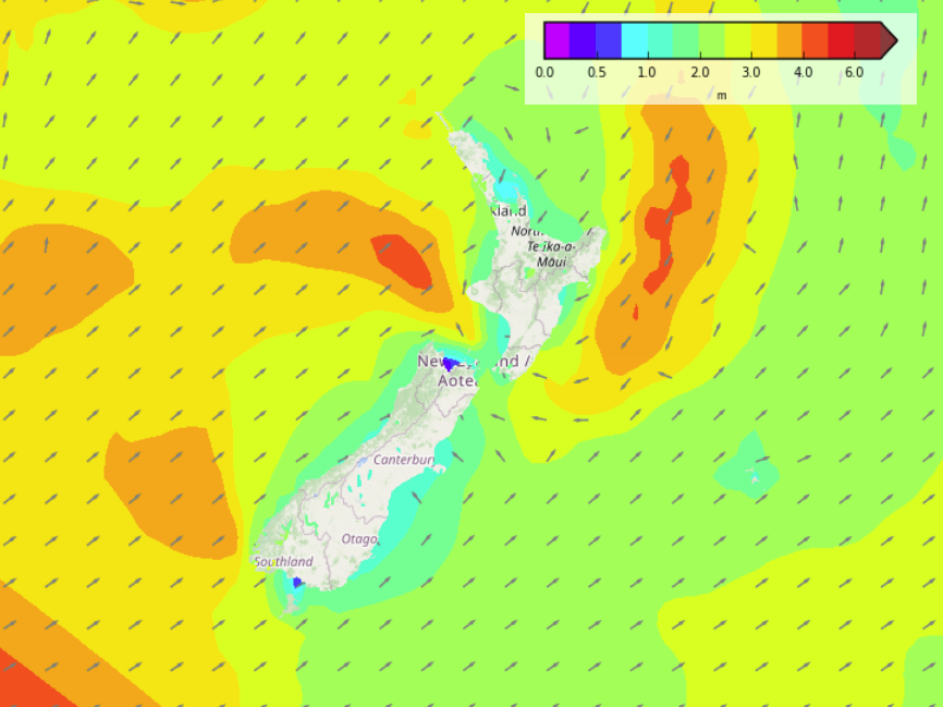
Saturday’s national forecast – Heavy rain in the north (+8 maps)
18/06/2021 4:00pm
> From the WeatherWatch archives
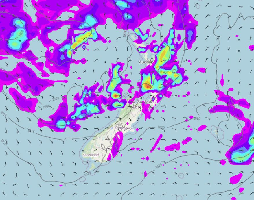
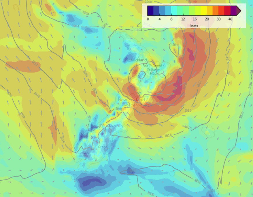
Updated 8:48am — A large low pressure system lies in the Tasman Sea today, coming out from this low is a series of fronts bringing rain, mainly affecting the North Island with heavy falls for some regions.
Please refer to your local, hourly, 10 day forecast for more details.
Northland, Auckland, Waikato & Bay Of Plenty
Rain pushes down from the north this morning, there may be a few heavy falls. Easing this morning to showers, some sun may then break through but then later this afternoon further rain (heavy at times) moves into Northland spreading southwards reaching the Waikato and Bay Of Plenty overnight. Thunderstorms possible north of Auckland. Northeasterly winds.
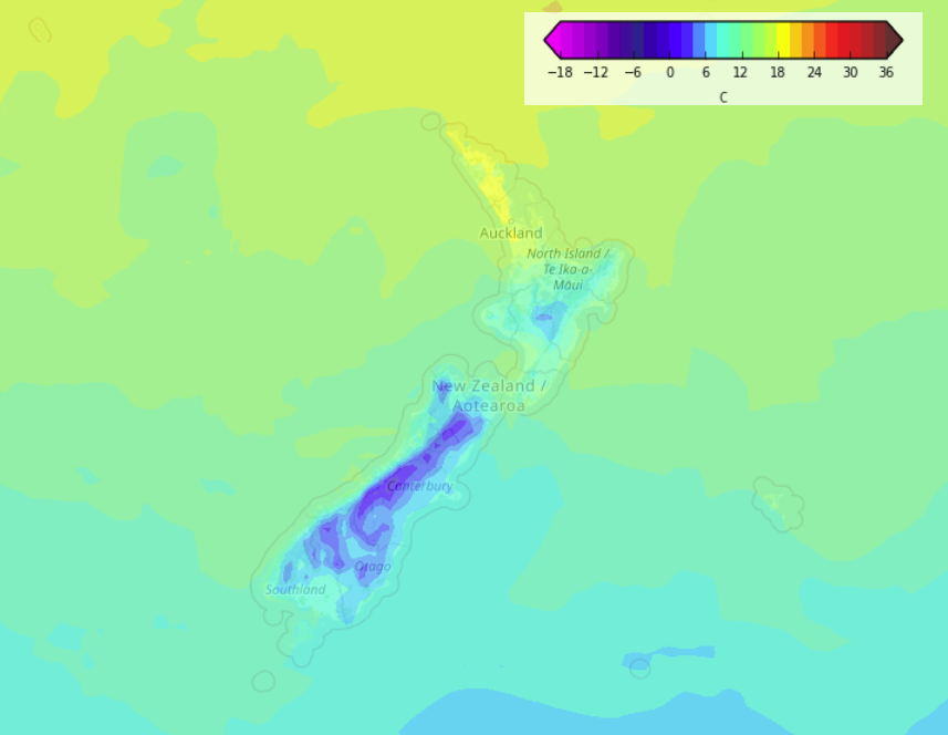
Highs: 16-18
Western North Island (including Central North Island)
Cloudy, scattered rain develops this morning, becoming widespread then easing this evening. Southeasterly winds.
Highs: 10-15
Eastern North Island
Cloudy with the odd shower, later this afternoon or evening expect some rain. Easterlies.
Highs: 12-15
Wellington
Mostly cloudy with the odd shower, some evening rain. Southeasterly winds.
Highs: 10-12
Marlborough & Nelson
Mostly cloudy with the odd shower, rain spreads into Nelson this morning then Marlborough this afternoon. Southeasterly winds.
Highs: 10-12
Canterbury
Mostly cloudy with a few showers, mainly north of Banks Peninsula. Light winds tend southwesterly this afternoon.
Highs: 7-10
West Coast
Plenty of high cloud, a few showers Greymouth northwards. Southeasterly winds.
Highs: 10-13
Southland & Otago
Mostly sunny, a few clouds at times. Coastal Otago has more frequent areas of cloud. East to northeasterly winds.



Comments
Before you add a new comment, take note this story was published on 18 Jun 2021.


Add new comment