Saturday’s national forecast – Cold SW airflow
30/06/2023 12:00pm

> From the WeatherWatch archives
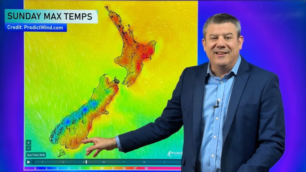
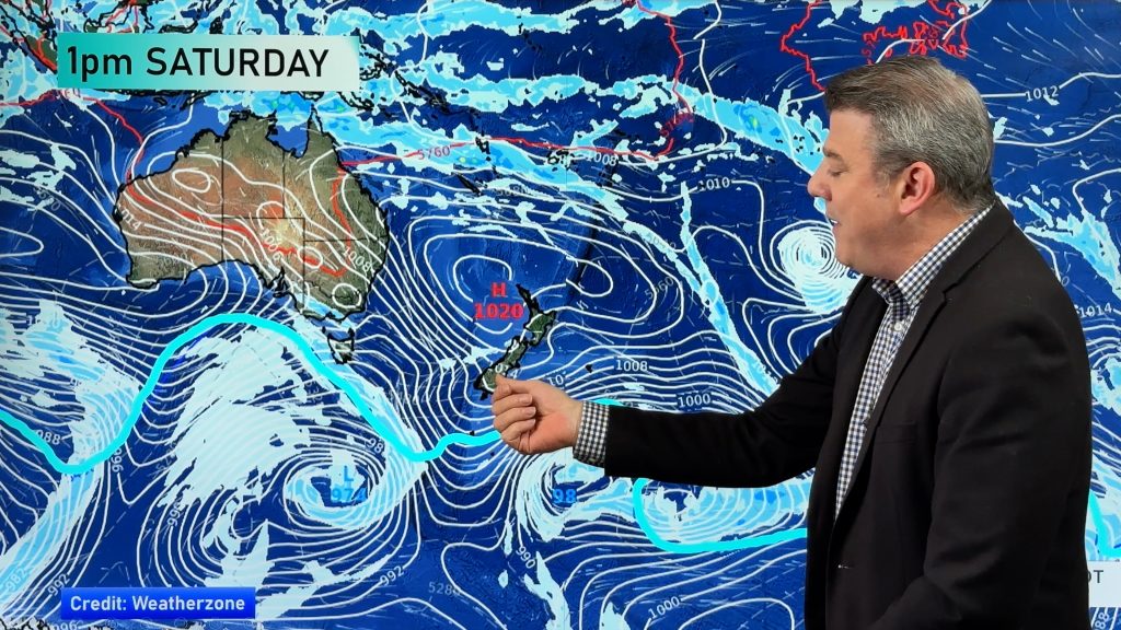
A southwesterly airflow lies over the country today and it is set to become colder as a front moves in from the Tasman Sea, moving over the South Island from afternoon then the North Island overnight.
Northland, Auckland, Waikato & Bay Of Plenty
Partly cloudy with occasional showers, especially in the west. Showers becoming a bit heavier overnight. Blustery westerly winds.
Highs: 13 – 16
Western North Island (including Central North Island)
Showers, heavy now and then, easing late afternoon then picking up again later in the evening. Snow to 800m. Blustery westerlies.
Highs: 6 – 14
Eastern North Island
A mix of sun and cloud, chance of a spit or shower, more so for Wairarapa. Blustery westerlies.
Highs: 12 – 15
Wellington
Morning showers clear then expect sunny spells, showers again later in the evening as blustery westerlies tend northwest.
Highs: 12 – 13
Marlborough & Nelson
A mix of sun and cloud, a few showers especially for Nelson in the morning then again in the evening. Westerly winds.
Highs: 12 – 13
Canterbury
Early showers clear then expect sunny spells. Southwesterlies freshen later in the evening with further showers for a time.
Highs: 6 – 11
West Coast
Morning rain eases to the odd shower, rain picks up again during the afternoon spreading northwards with southwesterlies freshening. Snow to 600m, 300m for Fiordland.
Highs: 7 – 12
Southland & Otago
Early rain eases to showers, drying out in the afternoon for Otago. Rain picks up again in the evening spreading northwards. Snow to 300m in the morning, 200m in the evening. Southwest winds.
Highs: 6 – 8
Comments
Before you add a new comment, take note this story was published on 30 Jun 2023.


Add new comment