> From the WeatherWatch archives
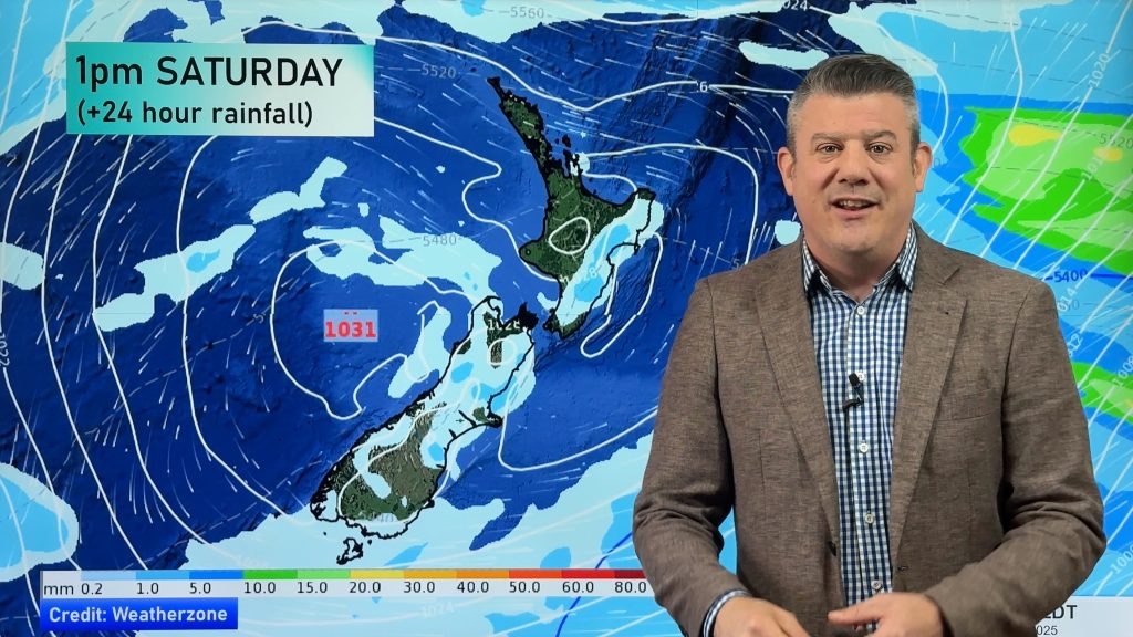
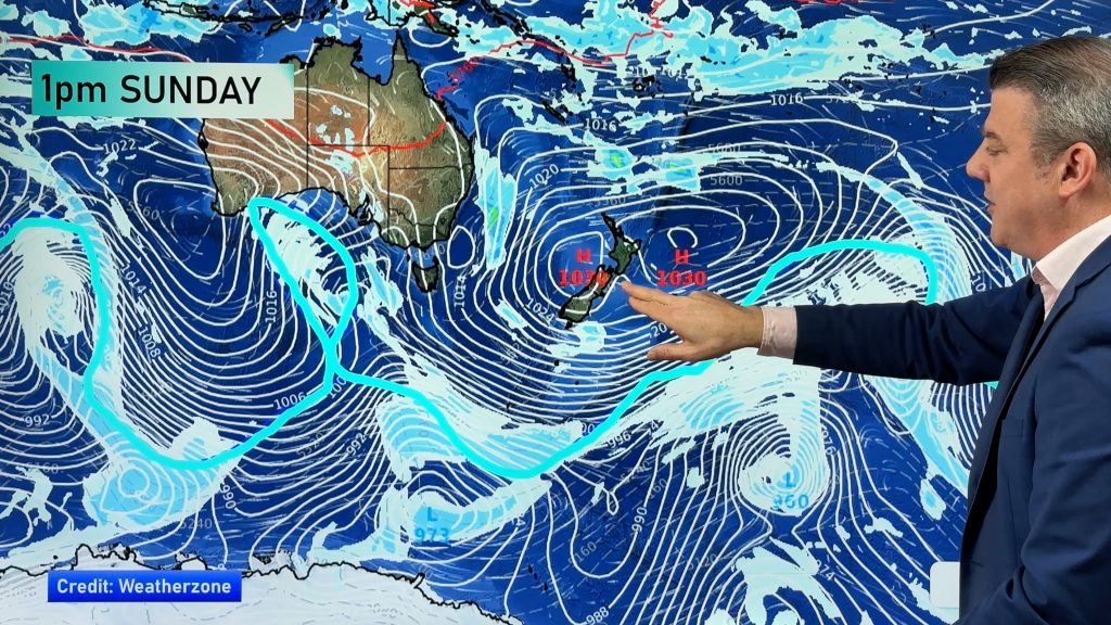
A south to southwest flow across the country is expected to weaken further as an anticyclone slowly moves on to the country.
A frosty start over parts of the South Island has formed this morning in sheltered areas however moderate breezes have kept them from popping over a number of centres up and down the country.
Some showers first thing this morning have been taking place over Banks Peninsula, Wellington, coastal areas about Gisborne and Hawkes Bay, a little rain over the Coromandel and a one or two showers for parts of the Northland and Auckland regions.
These should gradually ease and clear throughout much of the morning but one or two could linger into the afternoon before disappearing.
Sunshine for most other areas with just scraps of cloud are possible.The potential for more widespread frosts is likely tonight as winds should mostly die away and starry skies are set to be more prevalent.
Temperatures today will be a tad on the cool side overall and tonight appears to be a similar situation with single figures looking more than a possibility almost everywhere with one or two below freezing in the south.
-WeatherWatch
Comments
Before you add a new comment, take note this story was published on 10 May 2013.


Add new comment