> From the WeatherWatch archives
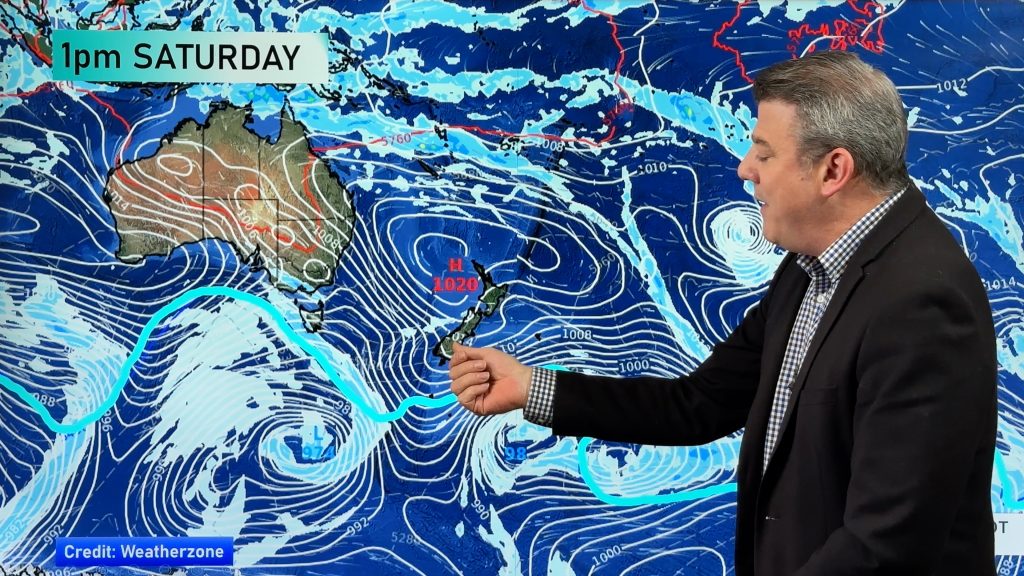
An anticyclone gradually slips away from the country on Saturday and a northwesterly airflow then moves in.
Northland, Auckland, Waikato & Bay Of Plenty
Mostly sunny with some high cloud from afternoon, light winds. There could be a few mist or fog patches in the morning.
Highs: 12-15
Western North Island (including Central North Island)
Mostly sunny weather, some cloud feeds into Kapiti however with the risk of a shower or two. During the afternoon cloud thickens up a little Taranaki southwards bringing the risk of a shower, it may just stay mainly dry. Winds are light from the north or northwest.
Highs: 9-13
Eastern North Island
Sunny weather with light winds.
Highs: 13-14
Wellington
Cloudy spells, a few spots of rain possible at times otherwise mainly dry. A few clear areas develop in the evening. Northwesterly winds.
High: 12
Marlborough & Nelson
A mainly sunny day with some high cloud developing in the afternoon, light winds.
Highs: 13-14
Canterbury
Sunny with some high cloud increasing from afternoon, light winds tending northeast near the coast in the afternoon. Some scattered rain spreads from the west overnight, perhaps more towards dawn on Sunday.
Highs: 8-11
West Coast
Cloudy areas and occasional sun, there is the chance of a light shower or two, more likely in the evening. Overnight rain moves in. Northeasterly winds.
Highs: 9-13
Southland & Otago
Mostly sunny then high cloud increase from afternoon, a few spots of rain develop later in the evening or overnight. Light northerly quarter winds.
Highs: 6-12
By Weather Analyst Aaron Wilkinson – WeatherWatch.co.nz
Comments
Before you add a new comment, take note this story was published on 29 Jun 2018.


Add new comment