> From the WeatherWatch archives
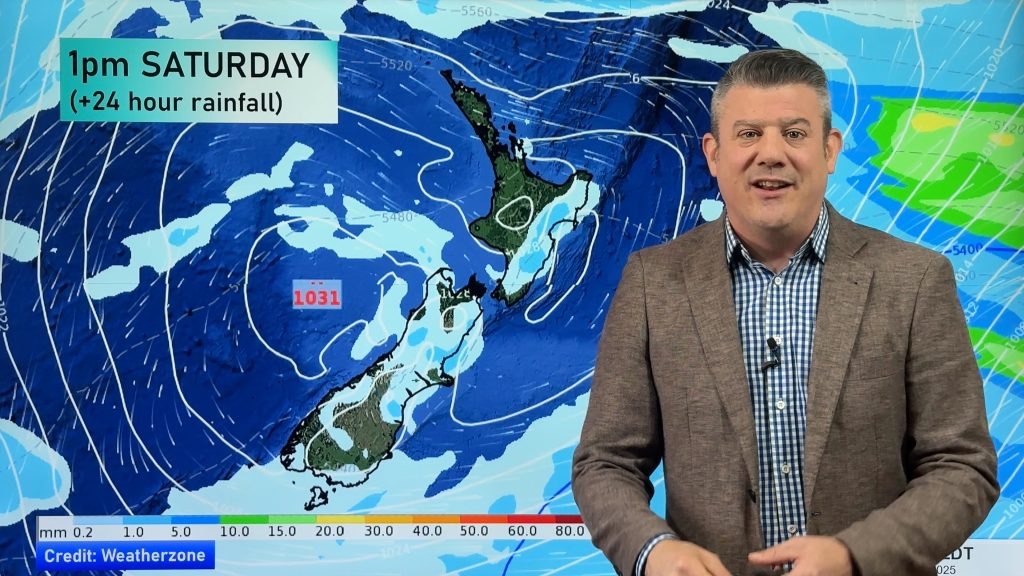
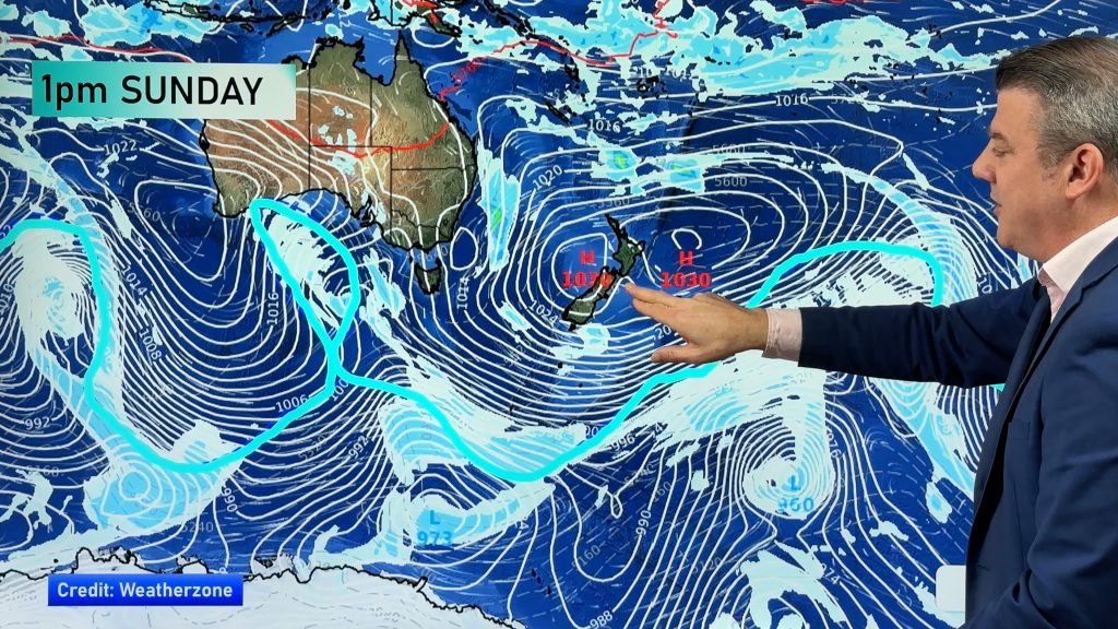
A low sitting off to the west in the Tasman Sea draws a northeasterly airflow over the North Island and a southerly airflow over the South Island. Expect plenty of unsettled weather with areas of heavy rain likely, especially for the North Island.
Northland, Auckland, Waikato & Bay Of Plenty
Showers. Heavy rain about Northland spreads into Auckland during the morning then the Bay Of Plenty during the afternoon. Rain eases to showers in behind as this front moves through. Rain about the Bay Of Plenty may become torrential for a time in the evening / overnight. There could be thunderstorms in the mix also, generally in eastern areas from Coromandel through to eastern Northland. Gusty northeasterly winds, strong offshore where winds may gust to gale at times (Great Barrier Island etc).
Highs: 19-20
Western North Island (including Central North Island)
Thickening high cloud, rain develops around midday about Taranaki then spreading southwards. Easterly winds freshen.
Highs: 17-20
Eastern North Island
Cloudy, patchy rain develops in the afternoon then becoming heavy later in the evening / overnight. Heavy rain could be a little hit and miss. Freshening east to northeasterly winds.
Highs: 17-19
Wellington
Cloudy, chance spit of rain then rain more likely in the evening. Southerly winds freshen around midday.
High: 16
Marlborough & Nelson
Some patchy rain, becoming more widespread in the evening (possibly heavy) as southeasterly winds strengthen.
Highs: 14-16
Canterbury
Rain with fresh southwesterly winds, rain about inland areas may be heavy at times. Snow for Mid Canterbury down to 900m, perhaps down to 700m for South Canterbury.
Highs: 8-12
West Coast
Rain with heavy falls, easing from late afternoon to showers. Gusty east to southeasterly winds developing in the morning. Fiordland has a mainly dry day after any early showers clear.
Highs: 15-16
Southland & Otago
Morning rain eases to showers then clearing around midday, a shower or two may hang on till evening for some. Some snow may lower to 500m for a time in the morning. Some sun may break through later in the day. Cool south to southeasterly winds.
Highs: 10-11
By Weather Analyst Aaron Wilkinson – WeatherWatch.co.nz
Comments
Before you add a new comment, take note this story was published on 27 Apr 2018.


Add new comment
Chris Clark on 28/04/2018 5:05am
It hasn’t actually cleared in Otago, it is still raining albeit lightly.
The Met Service has quite a bit of explaining to do.
Reply