RainWatch – Dry but isolated showers crop up this afternoon for parts of the North Island
22/10/2020 6:00pm

> From the WeatherWatch archives
Dry for most of the South Island today, expect a few showers about southern Fiordland. Chance of an isolated shower about parts of Otago late afternoon / evening otherwise mainly dry.
The North Island has isolated showers from Northland down through to the Central North Island and across to the ranges of Hawkes Bay / Gisborne, especially this afternoon where some may become heavy then easing in the evening, these showers are often inland away from the coast and especially about hills / ranges but the odd one may reach the coast in spots. Generally dry south of about Palmerston North.
Dry for the South Island on Saturday apart from a drizzle patch or two catching Fiordland in a northwesterly airflow. Isolated showers develop in the afternoon for inland parts of the North Island, some may become heavy with thunderstorms then clearing away in the evening. Once again as on Friday these showers are often inland away from the coast and especially about hills / ranges but the odd one may reach the coast in spots. Generally dry south of about Palmerston North.
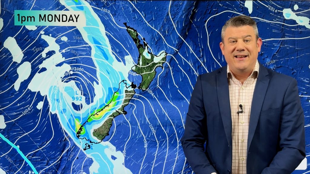
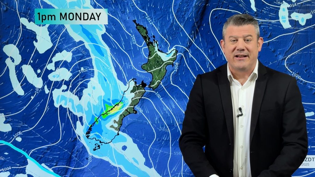
Showers turning to rain for the West Coast of the South Island on Sunday, rain develops about Southland / Otago from afternoon as a front moves in from the south. Isolated heavy showers possible for the North Island again in the afternoon similar to Saturday.

For rainfall accumulation maps for 1, 2 and 3 days out please visit our new maps page: https://www.weatherwatch.co.nz/maps-radars/rain/accumulative-rainfall
By Weather Analyst Aaron Wilkinson – WeatherWatch.co.nz
Comments
Before you add a new comment, take note this story was published on 22 Oct 2020.


Add new comment