> From the WeatherWatch archives
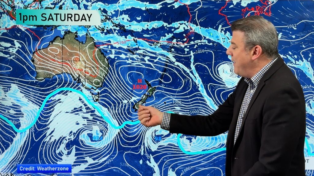
Some parts of New Zealand have stunning clear skies and little wind – but for the upper North Island it’s a cloudy, blustery start to the weekend.
In Northland rain is moving in and has a mix of light drizzly falls and dry areas for some, rain setting in with heavy falls for others. This is likely to be the nature of the rain over the next day or so in Northland – with the chance of isolated torrential falls. It’s a bit hit and miss for the heaviest falls – but there’s enough risk to support a rain warning for the region.
But once you head south the rain should lighten up. The Auckland region is right on the edge of the rain clouds so we’ll see rain spreading in from the north east at times but for many parts of Auckland City, especially the south, it may still be fairly dry with showers.
On Sunday it’s a similar set up but there is the chance rain or showers could sneak further south. Auckland again looks borderline but the chance of rain setting is certainly there, but data still suggests it may be patchy showers and dry spells. We’ll continue to closely monitor that forecast, with rain bordering around the Auckland region it always makes it tricky to pinpoint!
For other northern regions, like Coromandel Peninsula, Bay of Plenty and Waikato showers are more likely today but rain may move in tomorrow, especially around Coromandel Peninsula and Bay of Plenty and especially later on in the day or night.
One to watch but hopefully most main centres won’t have too many complications.
Northland’s the main region to watch at this stage, across Saturday, Saturday night and Sunday.
– Image / Cloudy skies over west Auckland. File/Joy Elley.
– WeatherWatch.co.nz
Comments
Before you add a new comment, take note this story was published on 29 Aug 2014.


Add new comment