Rain and snowfall step up a notch next week, but still plenty of dry (+2 Maps)
26/07/2019 12:17am

> From the WeatherWatch archives
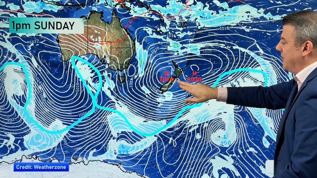
The weekend is warmer than average, especially by day with highs a couple to several degrees above normal and overnight lows increasingly warming up too thanks to a sub-tropical or northerly quarter air flow.
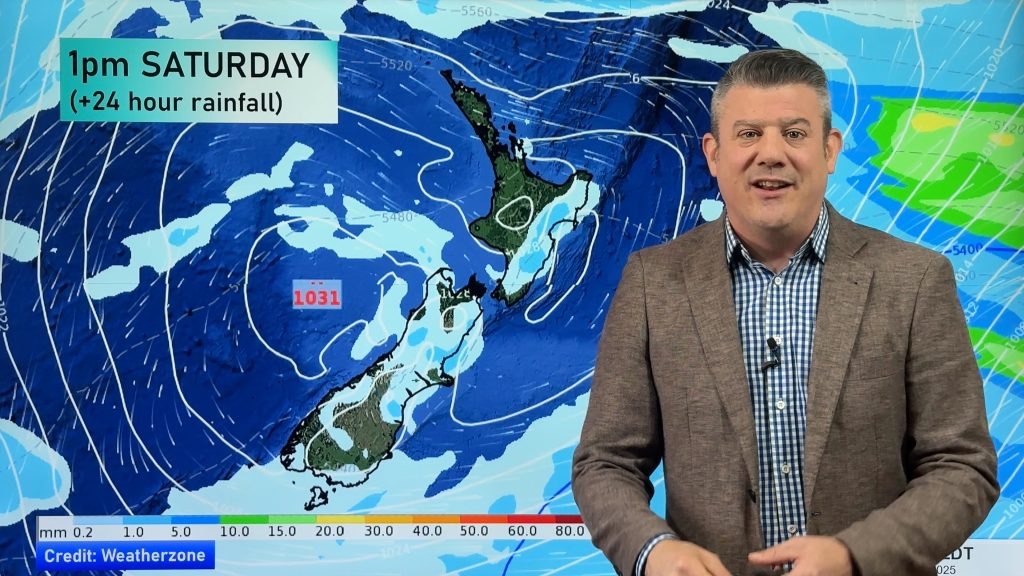
We have a couple of low pressure systems, both fairly weak over the coming several days.
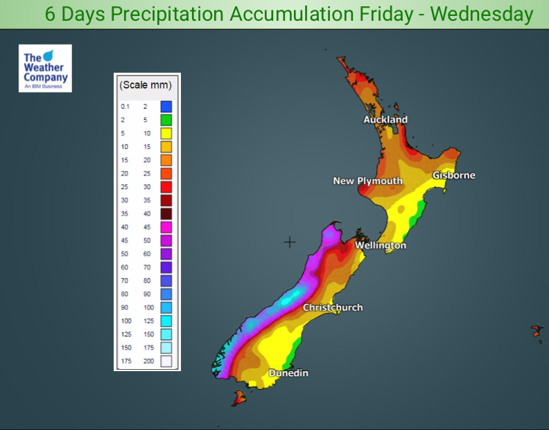
Rainfall totals start to lift up a bit more next week after the drier than normal week we have at the moment. The West Coast and the eastern North Island look to both have normal rainfall or possibly slightly above normal.
Elsewhere looks drier than usual – at this stage the eastern South Island and western North Island both look drier than they should be for this time of year across the next week.
While the days are mild the nights do get colder so rain will fall as snow in the mountains where, over the next six days, there may be over a metre of accumulation on the mountain tops. Due to the general warmth snow levels are not low to begin with but colder air later next week may see lower snowfall levels in the lower South Island down to maybe 300 or 400m for a time.


– WeatherWatch.co.nz
Comments
Before you add a new comment, take note this story was published on 26 Jul 2019.


Add new comment