> From the WeatherWatch archives
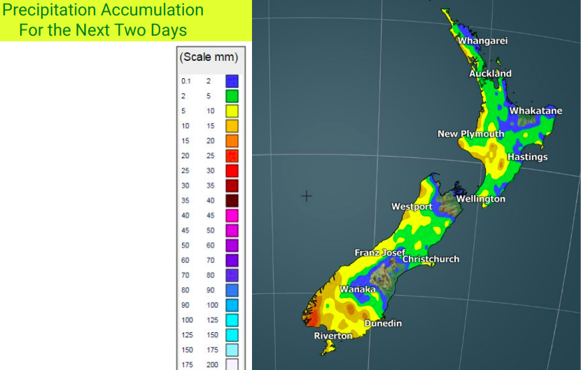
Today is a bit of a breather day before the next burst of showers, snow and cold winds move in. By noon Saturday the next system is coming in to Fiordland, bringing snow and heavy rain to the mountains.
Rain, snow, winds and waves are all moderate compared with the weather so far this week but will still be significant in some locations.
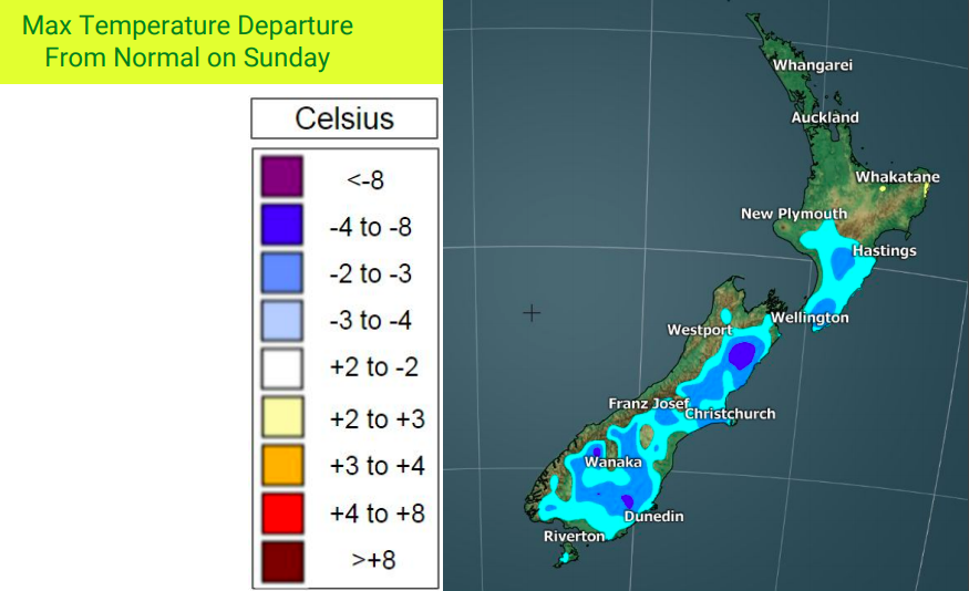
Temperatures are still expected to run cooler than normal, especially from Sunday to Tuesday nationwide.


– WeatherWatch.co.nz
Comments
Before you add a new comment, take note this story was published on 25 May 2018.


Add new comment
Anthony on 26/05/2018 4:31am
Hello. Any chance you can make the precipitation map key more legible? The blue used for 0-2mm is so close to the colours for 70-90mm. Perhaps a dark green for 0-2mm instead as 2-5 is light green.
Reply