> From the WeatherWatch archives
The days are quickly getting longer now with the early and late extra sunlight clearly noticeable – whether you’re in down south in Bluff or up north in Kaitaia.
As we start to get more and more sunlight the days warm up more. Most daytime highs will now be two or three degrees above where they were during the more colder weeks over the North Island and several degrees higher for some parts of the South island.
While the odd heavy frost is still expected around the South Island and central North Island the general feeling is that spring has arrived early – and frosts will become less and less. We may still have a few more big frosts – but the tide is now slowly turning against them.
It’s been some time since the nation had a decent, true, southerly blast. There have been a few short lived ones, but nothing for a month or two that has dredged up bitter southerlies and left that cold air sitting over New Zealand.
In fact it’s been quite the opposite lately.
This winter was utterly back to front. In the first week of June (and keep in mind many believe winter doesn’t start until the shortest day of the year in the last week of June – meaning some of our coldest weather this year was actually in Autumn and not Winter) we had a major cold blast. It was then followed by several cold weeks with Auckland receiving a number of frosts. The city usually has a few frosts a year – but they are often in late July or August – not the start of winter (or Autumn, depending on how you look at it).
Also in June we had that brutal wind chill of -15 which killed a couple of hundred cattle on the West Coast. We also had snow falling twice to sea level on the Coast, mixed in with rain.
But winter ended on a warm note. In mid July – right at the point of entering what is historically the coldest part of the year for New Zealand – we received the first of what would be several large Tasman Sea lows. The majority of them were either sub-tropical or had sub-tropical elements which significantly boosted overnight lows and intensely lifted rainfall figures.
.jpg) In some areas, like Waikato, overnight lows lifted from -5 the week before to +12. That is a huge 17 degree jump in overnight lows as far north as Auckland.
In some areas, like Waikato, overnight lows lifted from -5 the week before to +12. That is a huge 17 degree jump in overnight lows as far north as Auckland.
Those big lows have now ended and instead we’re seeing a new westerly pattern form.
So without those big lows three things happen. One, our rainfall numbers should return to normal for many areas. Two, our overnight lows will drop but our highs will lift. Three, eastern areas should start hitting the 20 degree mark soon.
In fact it may even happen this weekend as we see the first of our spring fronts arrive. Spring fronts typically come in from the west fuelled by a low in the Southern Ocean or brushing the lower South Island. They usually bring a cooler, showery, south west change but before they do a warm nor’west wind blows over the nation – especially across the South Island’s east coast and central New Zealand.
Sometimes the warm wind blows down from the sub-tropics, other times Queensland or New South Wales, while other times it is simply air from over the Tasman blowing in.
But this wind direction tends to boost the highs in the east – under clear skies or only high cloud.
So with the days longer, more westerlies coming in and less of those big heavy rain makers – I think we’ll see more average overnight lows and those highs bouncing into the 20s for the east – and the north won’t be far off too with highs frequently reaching the mid to late teens recently.
WeatherWatch.co.nz will issue our September outlook later next week.
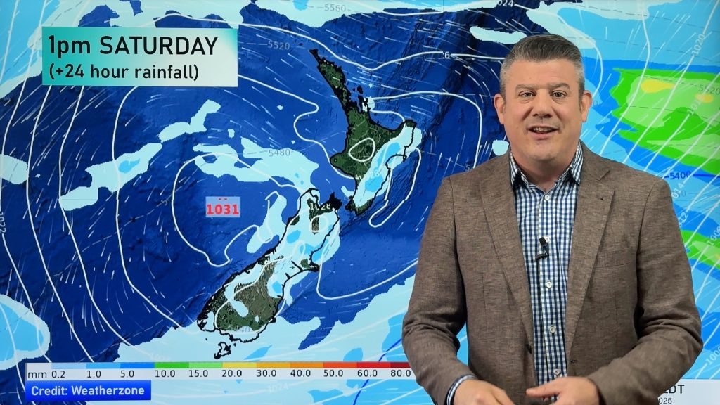
– Image / From earlier this winter, Andrew Blair
Column by Philip Duncan – www.Twitter.com/PhilipDuncan
Comments
Before you add a new comment, take note this story was published on 24 Aug 2012.


Add new comment