> From the WeatherWatch archives
This coming weekend is looking mainly anticyclonic although we have trouble brewing in the Tasman Sea in the form of a low pressure system which will affect us early next week.
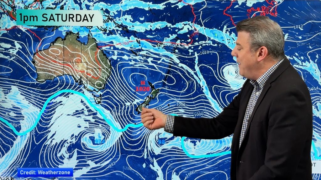
The map below is for Saturday 17th June at 3:00pm, as you can see conditions are fairly settled with an anticyclone in charge for the whole country. A weak front lies over the Auckland / Northland regions and may deliver a shower or two otherwise it’s quite dry. Most regions are looking mainly sunny however there may be some cloud about the eastern North Island and also about Fiordland.

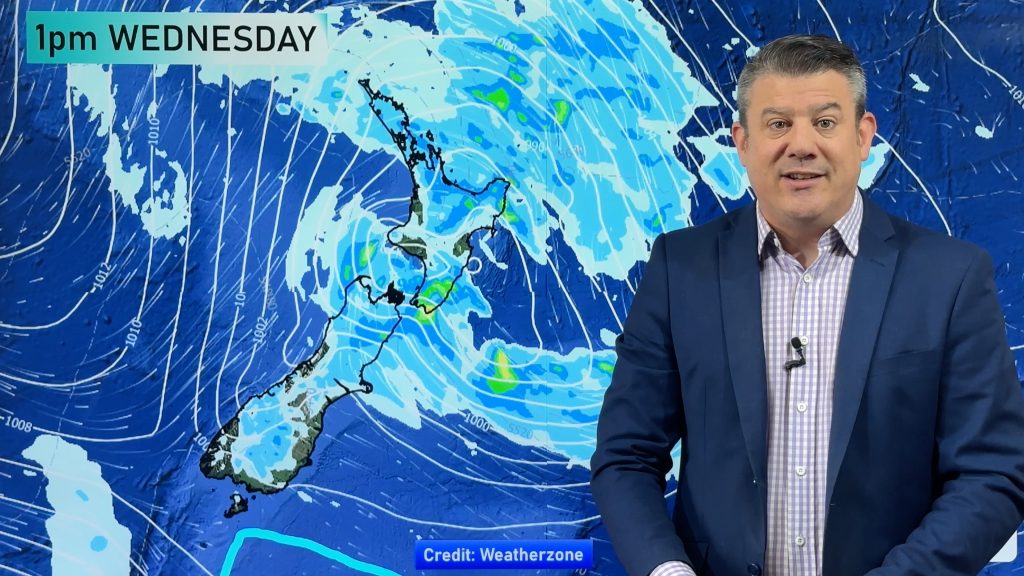
This map below is for Sunday 18th June at 3:00pm, you can see the area of rain to the northwest which will affect conditions especially for the North Island on Monday. For now though conditions are still relatively calm on Sunday, there may still be a shower or two about Northland / Auckland and a new front is moving onto the lower South Island which as you can see is bringing rain to Fiordland and spots of rain further east.

So generally speaking a weekend coming up that is looking rather ok, then be prepared for unsettled conditions on Monday! However, this Monday system should bring some needed snow to South Island ski fields so that is a bonus!
Images: weathermap.co.nz
WeatherWatch.co.nz
Comments
Before you add a new comment, take note this story was published on 15 Jun 2017.


Add new comment