> From the WeatherWatch archives
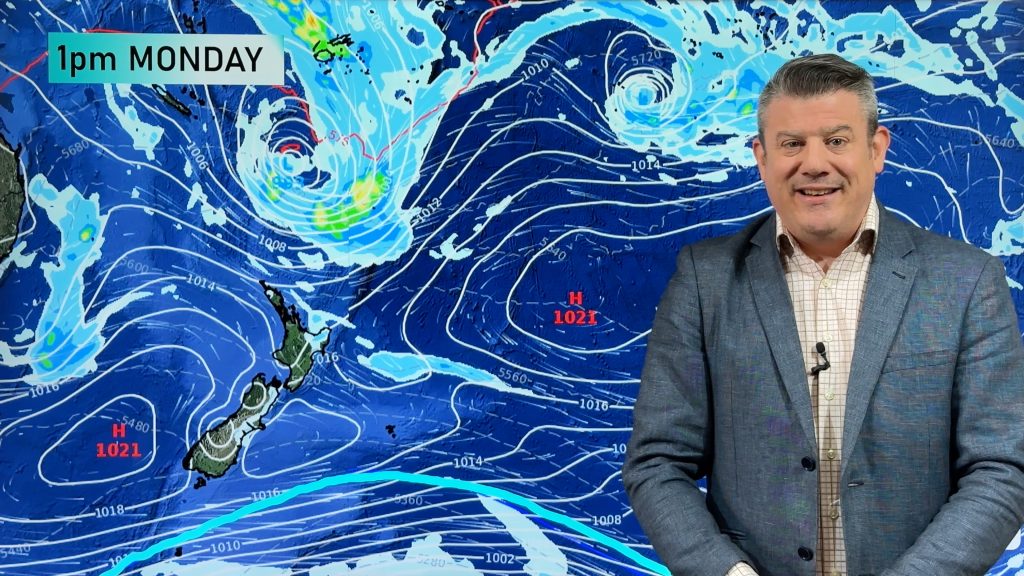
The weather on Monday may be similar for some as it is today however one thing for sure is there will be plenty of high cloud for much of New Zealand and rain for the West Coast of the South Island.
Monday sees a front move onto the South Island in the morning bringing rain for the West Coast, mainly dry out east with thick high cloud although there may be a spot of rain at times especially about Southland and Otago.
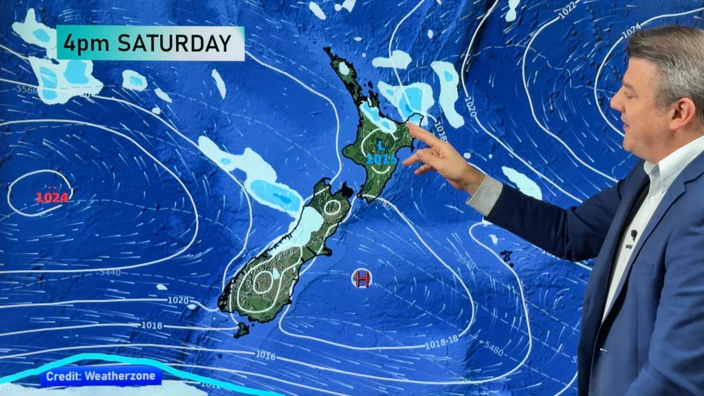
The North Island has a ridge of high pressure although this does slowly weaken during the day, mainly dry but plenty of high cloud with north to northeasterly winds. Some rain moves onto the western side of the North Island overnight.
The warmest temperatures overall tomorrow will be in the North Island, most regions getting into the high teens however some may get into the low tweenties. Parts of Northland and the Manawatu look ideal candidates for this.
The South Island has high’s in the low teens out west and the mid teens out east.
WeatherWatch.co.nz
Image – Monday 23rd October 1pm MSLP Map, weathermap.co.nz
Comments
Before you add a new comment, take note this story was published on 23 Oct 2016.


Add new comment