NZ’s entering a new weather pattern and it’s FULL of westerlies (+3 Maps)
7/07/2019 8:41pm

> From the WeatherWatch archives
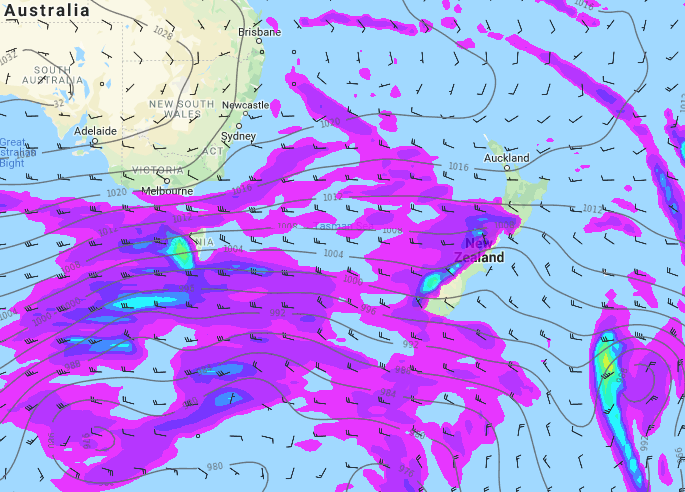
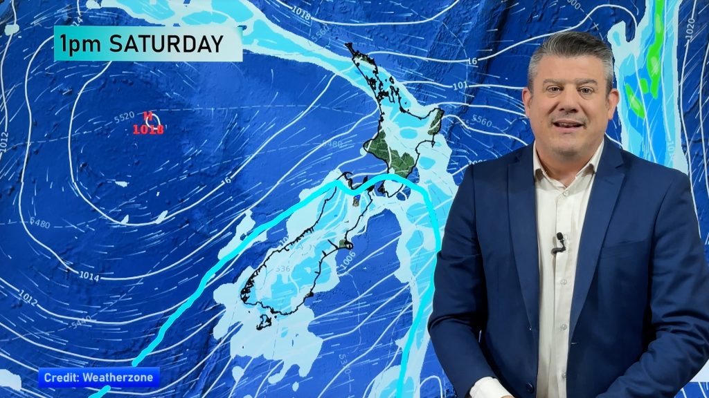
A significant change is coming to our weather pattern with at least 10 to 14 days of westerly winds dominating, not your normal mid-winter pattern. This more spring/autumn-like pattern means a variety of milder days and colder ones across the country with coldest air sticking to the south and warmest air sticking to the north.
The dominant westerly flow will also mean a build up of rainfall on the West Coast while eastern regions stay dry to fairly dry.
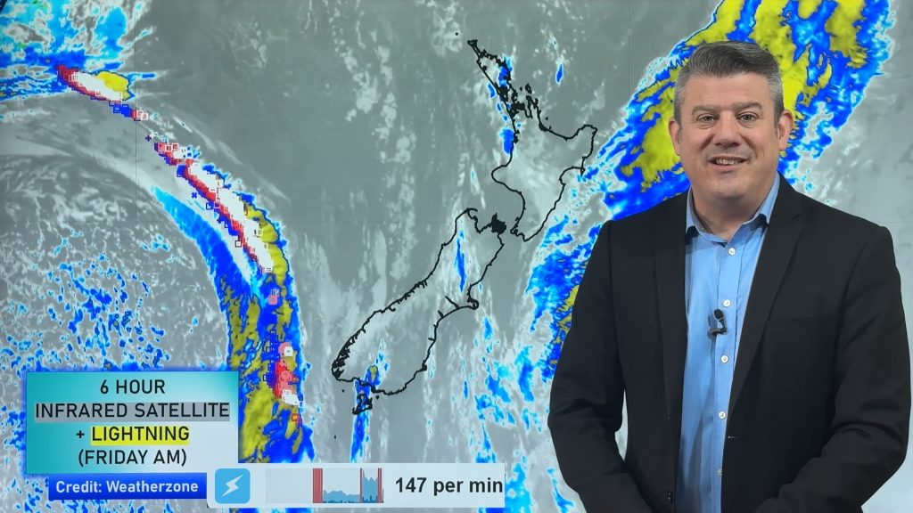
This weather pattern means frosts are less likely over the next two weeks, although due to a polar southerly in the South Island today some frosts will be occurring this week in the calm spells.
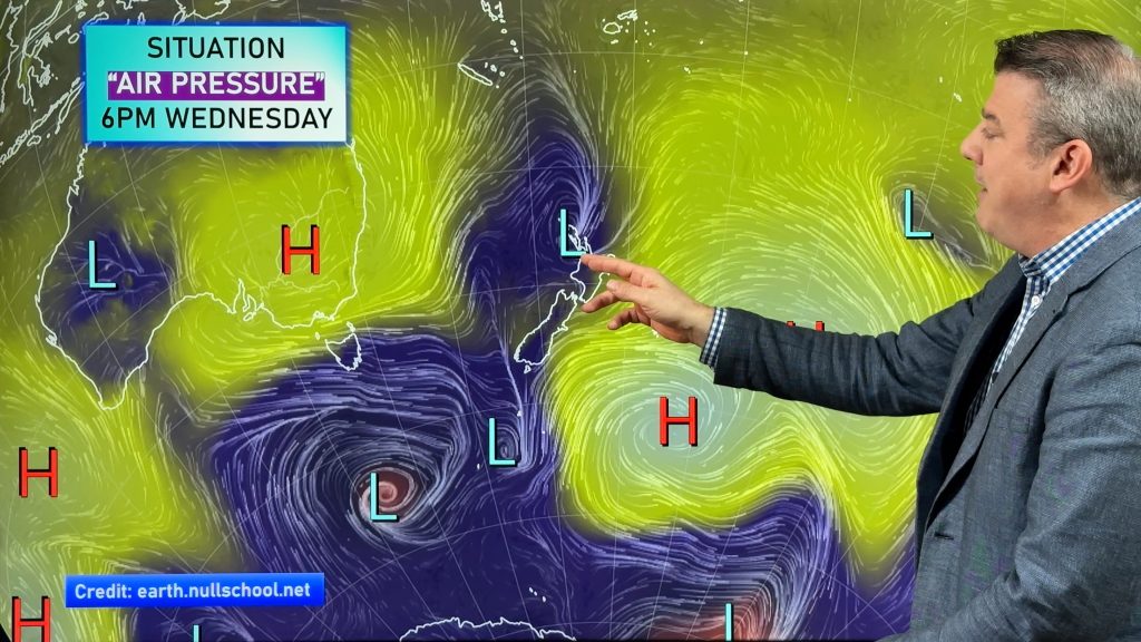
WeatherWatch.co.nz says the westerly pattern is due to no big highs over the NZ area and instead keeping them stuck over Australia or to our north.
Australia, on the other hand, will continue to be smothered by a huge high for the next two weeks making their droughts worse, only a few rain bands will brush their very coastal fringes – the bulk of that rain will then be blown across the Tasman Sea to the West Coast and western Southern Alps of New Zealand.
THIS TUESDAY:
THIS SUNDAY:
NEXT WEDNESDAY:
– WeatherWatch.co.nz
Comments
Before you add a new comment, take note this story was published on 7 Jul 2019.


Add new comment