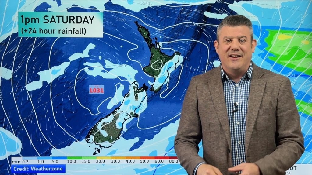
NZ’s 7 day rainfall is 0mm to low (+2 Maps)
18/03/2021 8:43pm

> From the WeatherWatch archives
A dominant and very powerful high pressure system is continuing to impact NZ and will do so for another week.
An easterly flow continues in the north, on the edge of the high (as the high is centred further south) and this will see a few showers here and there in the eastern and very upper North Island.
WeatherWatch.co.nz head forecaster Philip Duncan says all of NZ will be much drier than average for this time of year. “This high pressure belt is extraordinary large, meaning it will take at least a couple of weeks to move through. Modelling we trust most suggests the high will be leaving NZ later next week which then potentially opens up a brief window for rain or showers, before the next big high rolls in”.


Comments
Before you add a new comment, take note this story was published on 18 Mar 2021.


Add new comment
Phil Clements on 18/03/2021 11:20pm
Hi Philip,
Carrying on from my comments last month regarding record monthly air pressures, I have just recorded the highest March pressure since I started keeping records over 10 years ago:
Highest Pressure (sl) 1031.67 hPa at 12:02 a.m. on 19 March 2021
This follows February: Highest Pressure (sl) 1031.46 hPa at 1:42 a.m. on 19 February 2021
Cheers,
Phil C
Reply