> From the WeatherWatch archives
We’ve seen heavy rain in the east this week, strong winds through central areas, and cold air in the north – while those in the deep south are enjoying the most settled weather in the nation.
Here’s the latest talking points about the weather today, as of 11:30am
- Heavy rain continues to fall in Marlborough but easing back a bit now around the more coastal areas of the region. Watch for rising rivers and slips next few hours.
- Rain is now setting back into Hawkes Bay – not as heavy as the other day but still one to monitor following recent heavy rains.
- The easterly wind flow is unusual for NZ at this time of the year (normally westerlies in late September) – we have easterly quarter winds until Sept 30th and October may start calm – backing what WeatherWatch.co.nz said several weeks ago: that Spring arrived early this year in New Zealand.
- Today (tonight at 8:21pm to be specific) is the Spring Equinox… traditionally the time of year when we have a lot of westerlies and is the true technical start to Spring. As of tomorrow the days become longer than our nights.
- A few showers around Auckland and Northland right now – nothing much to talk about but a couple may be bit short and sharp.
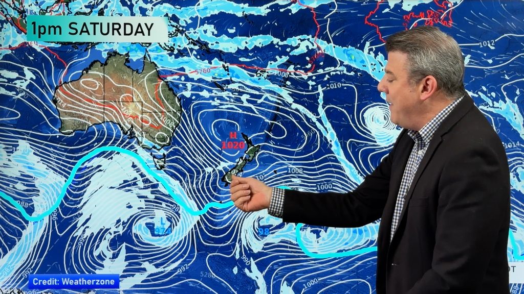
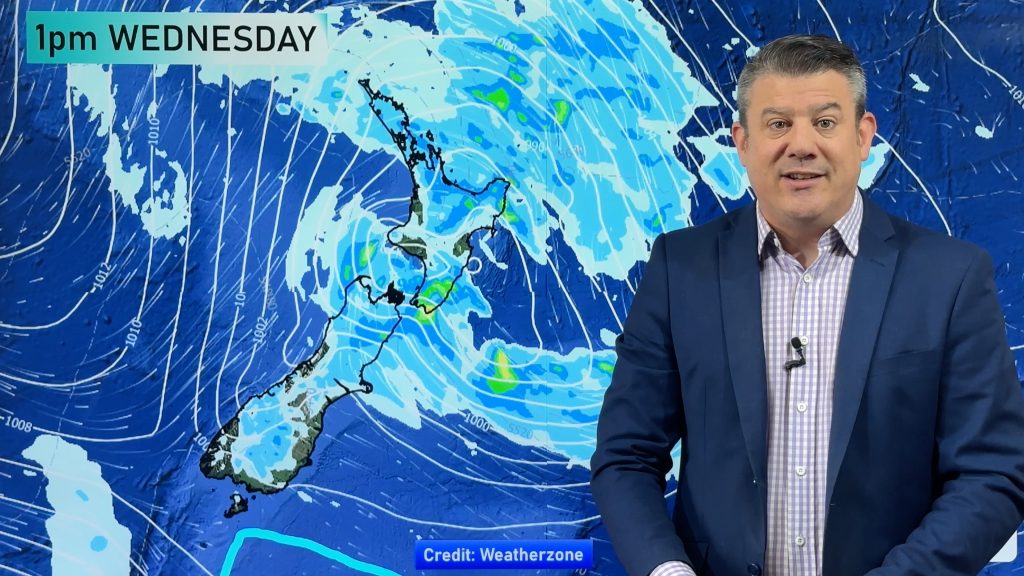
- This 4 day low (Sunday to Wednesday) finally eases tonight – but a new low from the Tasman Sea partially joins forces with it on Thurs/Fri/Sat bringing more rain and showers to northern and eastern areas of the North Island in particular.
– WeatherWatch.co.nz
Comments
Before you add a new comment, take note this story was published on 22 Sep 2015.


Add new comment
Tim on 23/09/2015 4:05am
G’day, Thanks interesting answer. I can’t speak for all of Canterbury but here in darfield we are in a better position moisture wise than the last 2 or 3 springs to date. Winter was bloody cold with the odd rain event and 1 heavy snow so ground moisture has been good.And now to date we are getting some nice we rains,including a steady rain today. Fingers crossed we can get to Christmas at least it’s a bit more manageable than a oct/nov dry spell. Cheers
Reply
Tim on 23/09/2015 1:20am
Hi guys,
Given all the talk about a severe El Niño hitting New Zealand this year.
When do you see areas like mid Canterbury starting to get very dry.
Some weather agencies are saying pre or around Christmas while others are saying more likely into the new year.
Your thoughts?
cheers
Reply
WW Forecast Team on 23/09/2015 2:14am
Hi Tim – really hard to say in advance with certainty, because up until a week ago many in the east of NZ would’ve said they were already creeping back into “very dry” but the rain has been heavy in many eastern areas north of North Canterbury (not mid Canterbury sorry) – which will reset things again for a number of farms/properties. El Nino usually sees stronger than usual westerlies – but we have an easterly flow right now over much of NZ (for over a week in many areas). I think by late Nov early Dec we’ll be seeing hints of the areas perhaps most vulnerable to a big dry – and more serious concerns may be from January/Feb onwards. Hard to pin point a date – in fact as we are seeing this week NZ can buck the trend and actually have opposing weather to a normal El Nino forecast. We’re not talking about the severity like other outlets – because every weather and climate event is different here in NZ due to our chaotic weather pattern.
Hope that’s a helpful answer – I know it’s not an exact one.
Cheers
Philip Duncan
Reply