NZ: Settled Saturday, unsettled Sunday, wintry Monday (+3 Maps)
28/06/2018 10:59pm

> From the WeatherWatch archives
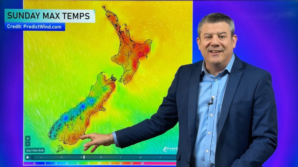
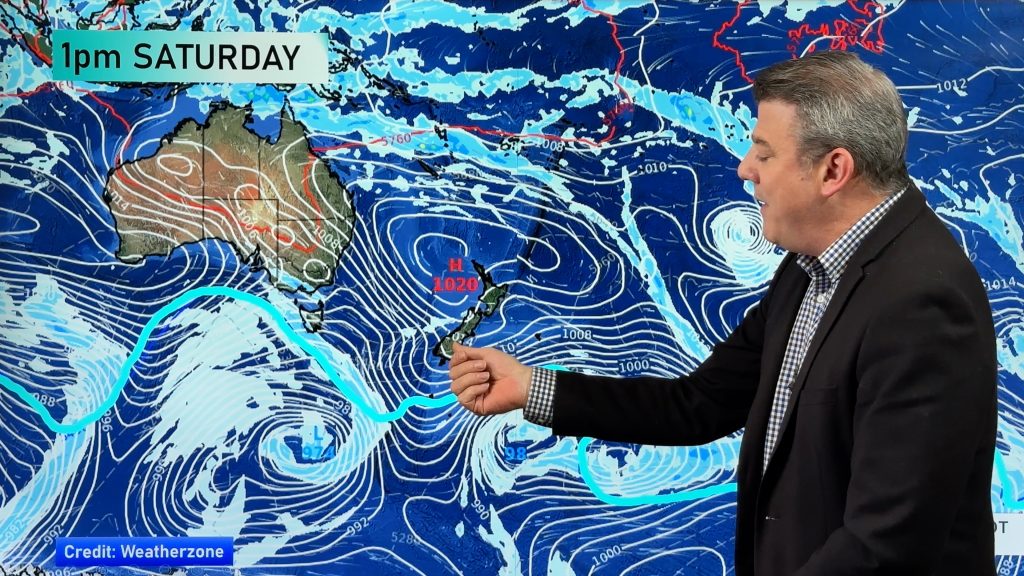
A high pressure area over the Tasman Sea is about to cover New Zealand for the next 36 hours bringing calm weather, fog and mist patches and *slightly* milder than usual temperatures are expected to develop for some in the east for the next two days.
With New Zealand soon being located under the “squash zone” (halfway between a high and a low) the eastern side of the country will having gusty NW winds which may reach gale force through Cook Strait on Sunday.
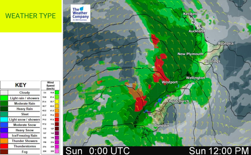
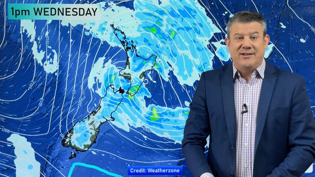
The next trough is coming on Sunday morning and will bring snow and freezing rain along the Southern Alps and rain into the western North Island too, followed by a colder Monday nationwide – but a mainly dry week next week for many.


– WeatherWatch.co.nz
Comments
Before you add a new comment, take note this story was published on 28 Jun 2018.


Add new comment