NZ: Cooler mornings for now but milder airflows later this week (+3 Maps)
21/03/2021 9:01pm

> From the WeatherWatch archives
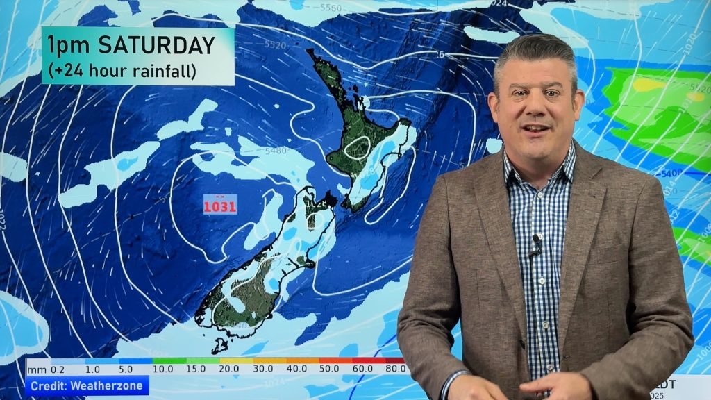
A huge high has been parked west of NZ for a week now and is encouraging a light but cool southerly flow into the country.
It’s this flow that is encouraging gloomy weather in some southern and eastern areas. Coupled with the autumn equinox (which was on Saturday at 10:37pm and now means our nights are getting longer than the days) it’s not surprising the mornings have been a little cooler lately.
However this week that huge high finally shifts from being west of NZ to east of NZ and this shift will see the southerly fade out entirely and be replaced by a milder northerly flow by the end of the week and into the weekend.
For many regions this will push overnight lows from the single digits back into double digits.
For those still having double digit overnight lows the added warmth later this week will push them into the teens and for northerners, like Auckland, overnight lows jump back to around 17 degrees by the end of this week and weekend.


View interactive MAX and MIN Temp Maps here: www.weatherwatch.co.nz/maps-radars/temperature/minimum-temperature
Comments
Before you add a new comment, take note this story was published on 21 Mar 2021.


Add new comment
Karen on 22/03/2021 1:42am
Can you see the weather event currently in NSW affecting NZ in the next few weeks with major rainfalls that could cause flooding.
Reply
WW Forecast Team on 22/03/2021 4:24am
Hi Karen, thanks for your question. Please take a look at our latest weather video – Phil talks all about the Aussie rain band and how they might impact NZ (and we’ll be updating it daily this week too).
Cheers WW
Reply