NYE update + 2023’s first week of weather looks windy for some
30/12/2022 12:10am

> From the WeatherWatch archives
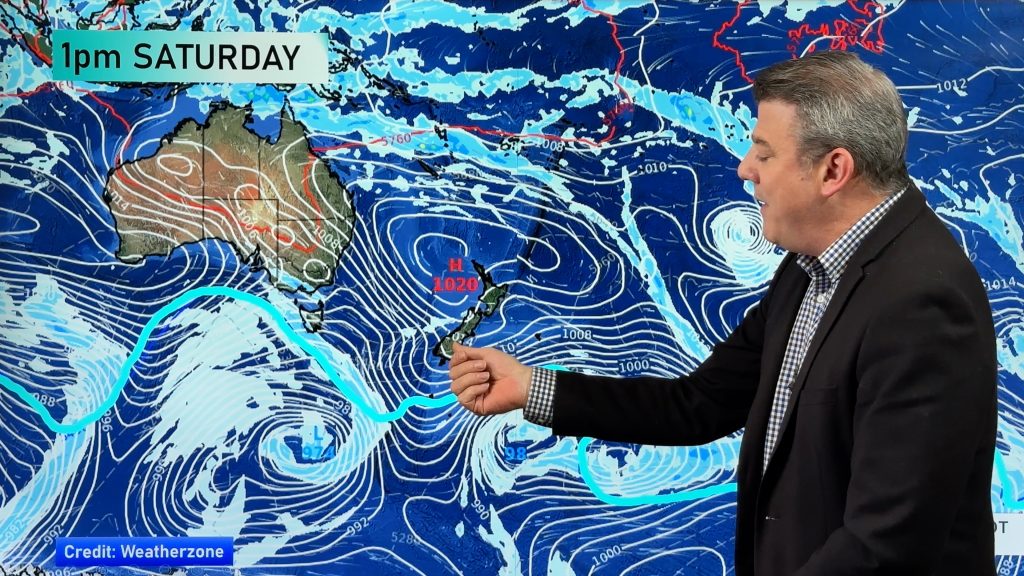
Low pressure in the tropics and high pressure crossing the South Island will bring a windier week to northern NZ as the ‘squash zone’ between those two air pressure systems drives in easterlies.
Winds will gust to gale force at times in the most exposed places and for those in tents and awnings it may be a bit of a blustery few days coming up, especially if you’re in the east of the upper North Island. Note: It’s not a storm moving in though – the low itself is falling apart but the windy weather is a combination of this incoming low and the outgoing powerful high. What we call a “squash zone”.
New Year’s Eve
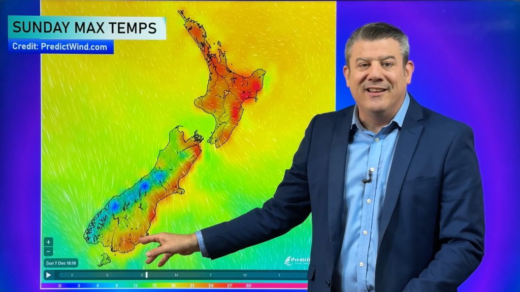
Most of NZ is settled under high pressure on Saturday December 31, however it will be cooler in the east with showers in the eastern North Island. The cooler air flow means places like Gisborne, Napier, Wellington, Christchurch and Dunedin will all likely have daytime highs in the mid to late teens, maybe 20 in the north.
It will be cloudiest in the upper and eastern North Island but while Auckland has cloudier weather coming the high is still in the mid 20s and the overnight low will be in the late teens.
Coolest weather on NYE will be in Northern Southland with single digit overnight lows.


New Year’s Day
The windier easterlies increase in the north and head further down NZ bringing cloudier weather with it – and a few showers in the north.

First Week of 2023
The low leaving the sub-tropics will move into Tasman Sea and this will encourage humid, cloudy, warm weather from near Tonga down over parts of NZ. This means mild nights but daytimes highs next week in the north may be a little flat due to more cloud.
The main theme for the first week of 2023 is windy in the North Island and maybe coastal Canterbury.
See our story for Campers here about the windy weather next week.
5 DAYS RAINFALL
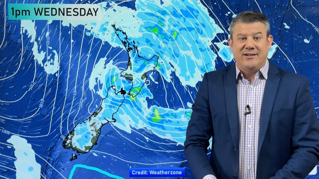
A period of rain is likely mid to late week in northern NZ as that sub-tropical low moves down and then falls apart. Both main islands will get some rain, certainly by the end next week and next weekend. There may be some rain warnings issued – it’s worth monitoring. This map shows the next 5 days which captures the cooler, showery, change for the eastern North Island on Dec 31, and maybe Northland – then the increased risk to Northland next week as showers increase.
Most other places are drier than average.

First full Weekend of 2023 and Second Week of 2023
At this early stage that low crosses NZ next weekend bringing rain and then a cooler/refreshing change behind it. Then we see high pressure from south of Australia likely to roll back in over NZ with that cooler southerly at first in the south – then settled, hot, summer days after and yet another return to easterlies in northern NZ.
RECAP
Dec 31 – Showers in the east and maybe the very north of the North Island
Jan 1 – Easterlies picking up in the upper North Island with increasing cloud. Maybe a shower.
January’s first week – E to NE winds pick up over the North Island with showers. Late week rain in the north and west of both islands.
January’s first weekend: Patchy rain or showers crosses NZ with a cooler southerly
January’s second week – A cooler southerly fades out in the south as high pressure rolls back in. Easterlies may return to northern NZ.
Comments
Before you add a new comment, take note this story was published on 30 Dec 2022.


Add new comment