NYE – Mostly dry but a few light showers may sprinkle some in the north
28/12/2022 12:35am

> From the WeatherWatch archives
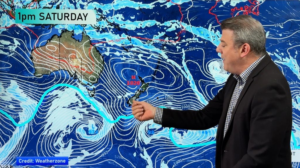
High pressure looks set to continue dominating the country on the last day and evening of 2022 but a few showers are possible in coastal parts of the eastern/upper North Island.
At this stage the showers don’t look to accumulate to much on New Year’s Eve for most places exposed – namely some coastal parts of Hawke’s Bay, Gisborne/East Cape and eastern Northland. Rainfall looks to be less than 1 or 2mm for anyone that gets it – so a mostly dry. However it may also be quite cloudy for some, especially further to the north.
Auckland City looks dry – but cloudy by late evening as nor’east winds develop. A light shower is possible north of the city.
Elsewhere the rest of New Zealand looks dry on New Year’s Eve with light winds or north to north east breezes. Windiest weather will be north of Auckland. Calmest weather will be over the lower South Island where high pressure will be centred. Most places will be mild or about normal for December 31st, although it may be cooler in the lower South Island with some places dropping into the single digits overnight/into January 1st. (eg, +8C in Gore when you wake up Jan 1).
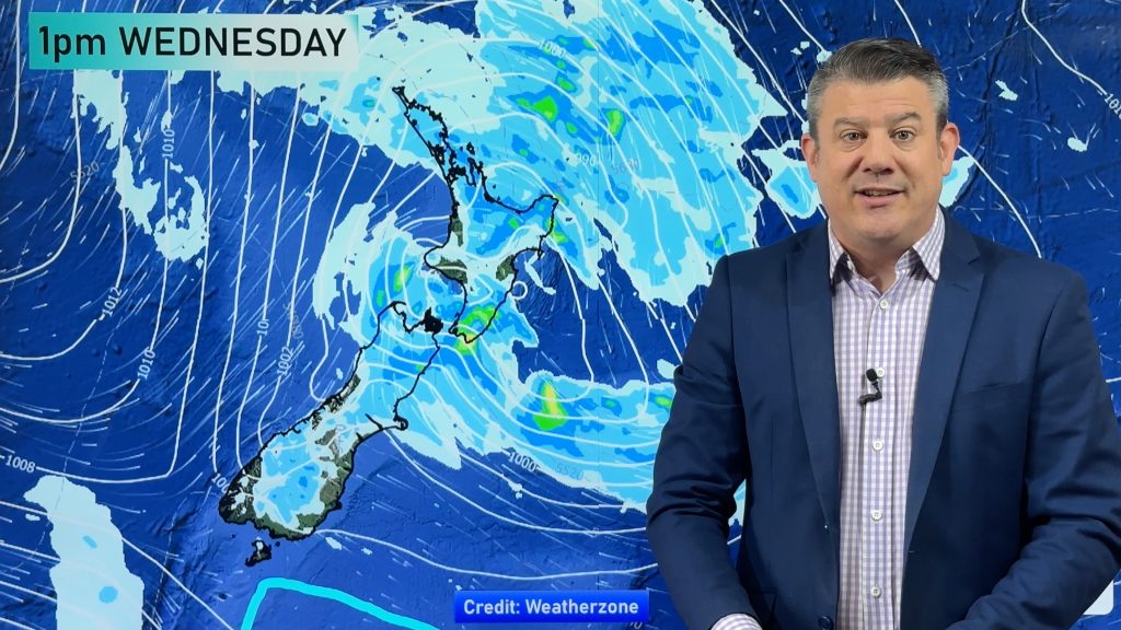
A small but stormy low pressure system well north west of NZ will help see those north east winds strengthen and clouds thicken across this coming weekend in the upper North Island. While that low is likely to fall apart before reaching NZ later next week, it may bring days of windy weather (squash zone winds) to some northern camping spots. (read more about the windy weather to kick off 2023 here).
Comments
Before you add a new comment, take note this story was published on 28 Dec 2022.


Add new comment