No video today – so here are 14 weather maps instead!
4/12/2019 11:54pm

> From the WeatherWatch archives
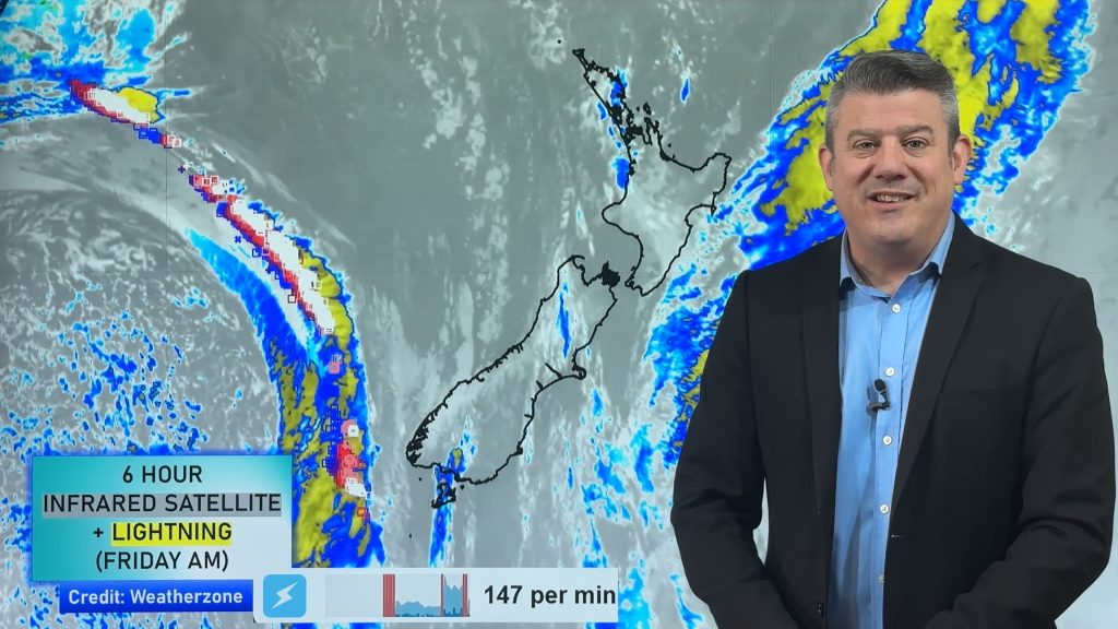
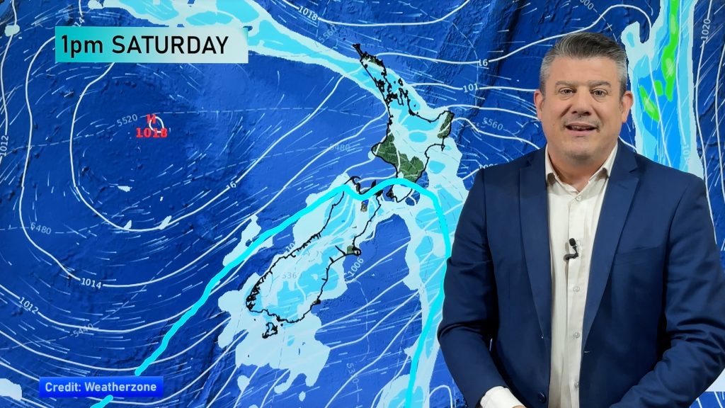
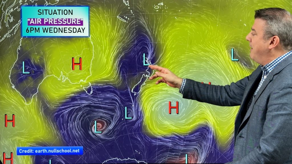
Apologies but we have no weather video update today, instead we have plenty of infographics and weather maps to look at covering up until Monday as this big low in the Southern Ocean finally moves in.
There is some severe weather to monitor:
-
Isolated thunderstorms with possible hail:
– Until Sunday late night over South Island partially.
– From Thursday noon to Monday evening over North Island widely. -
Rain:
– Accumulated precipitation of 50 mm / 24 h or more is widely expected over Southland & West Coast until Sunday morning, and especially up to 200 mm / 24h from Friday to Saturday morning.
– Accumulated precipitation of up to 400 mm / 72h or more is expected in mountainous areas of West Coast. Watch for slips and flooding. -
Snow (high altitude areas of Southland & West Coast):
– In West Coast with altitudes above 2,000m, accumulated snow of 50 cm / 24 h or more is partially expected until Sunday morning, and especially up to 100 cm / 24h from Friday to Saturday morning.
– Accumulated snow of 30 cm / 24 h or more is partially expected in Southland with altitudes above 1,500m on Thursday. -
Wind: average wind speed of 60 km/h or more (gale force) is expected as follows – Until Monday dawn around Cook Strait (northwesterly winds).
– Until Monday morning over coastal Southland (westerly winds).
– At least until Saturday noon in high altitude areas of South Island.


– WeatherWatch.co.nz
Comments
Before you add a new comment, take note this story was published on 4 Dec 2019.


Add new comment