New Zealand has two big storms nearby – Here’s how they are similar, yet very different
16/02/2018 2:37pm

> From the WeatherWatch archives
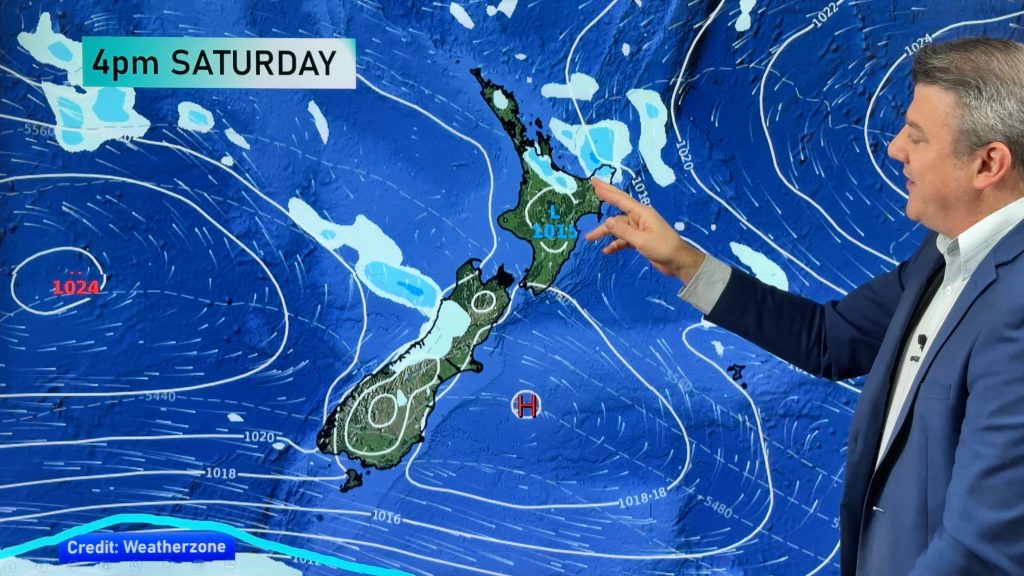
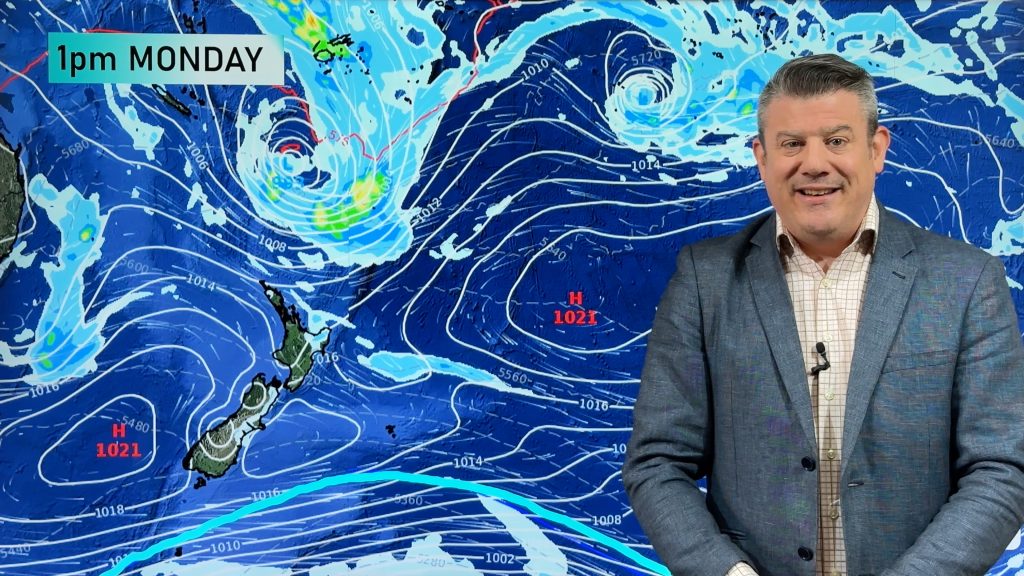
Two powerful storms bookend New Zealand as we head into the end of the working week, Severe Cyclone Gita to the north and a deep Southern Ocean low to the south west. An area of weak high pressure only just holds on to the country today and tomorrow.
Both storms to the north and south have similar deep central air pressure, in the 950hPa range, but this set up also clearly demonstrates how tropical storms behave and look differently to storms in colder parts of the globe.
With a tropical cyclone you notice the perfect circular centre and the isobars around it look like the rings of an onion, circular and closely packed in together around the centre. This tight packing of the isobars indicates ferocious winds around the eye of the cyclone – this is where they are most severe, it’s all packed in towards that centre. A bit like when you pull the plug from the bath and water sucks around the draining plug the air pressure is spinning fast around the eye of Cyclone Gita. The faster it spins the more powerful the spinning action becomes.
Tropical cyclones have a warm core which help give them this circular shape but lows that move into New Zealand or form southwards have a cold core and this helps make them larger and operate differently. The energy is spread further afield from the centre so the rough weather reaches further away – the centre of the storm can be very large and the worst winds may not be near it.
So a tropical cyclone has all the worst winds right near the centre of it but a lot of Southern Ocean storms spread the energy further afield – often the strongest winds are when they move into large high pressure systems forming a “squash zone” which can be hundreds, sometimes thousands of kilometres stretching out from the centre.
As Cyclone Gita moves into New Zealand it will be transitioning out of being a tropical cyclone and into a cold core extra-tropical cyclone. This process changes the centre shape of the low and shifts energy in ways that can be tricky to forecast in advance. This is why we always say cyclones are hard to forecast as they move in to New Zealand – there is a huge structural change happening to the entire system. Once completed the extra-tropical cyclone can suddenly deepen – this is what happened to Ex-Cyclone Fehi recently.
The centre of the storm in the Southern Ocean this weekend won’t come too near to the South Island but it will push strong winds over the Southern Alps and Southland at times – followed by a temperature drop early next week. Some heavy rain in and around Fiordland too.
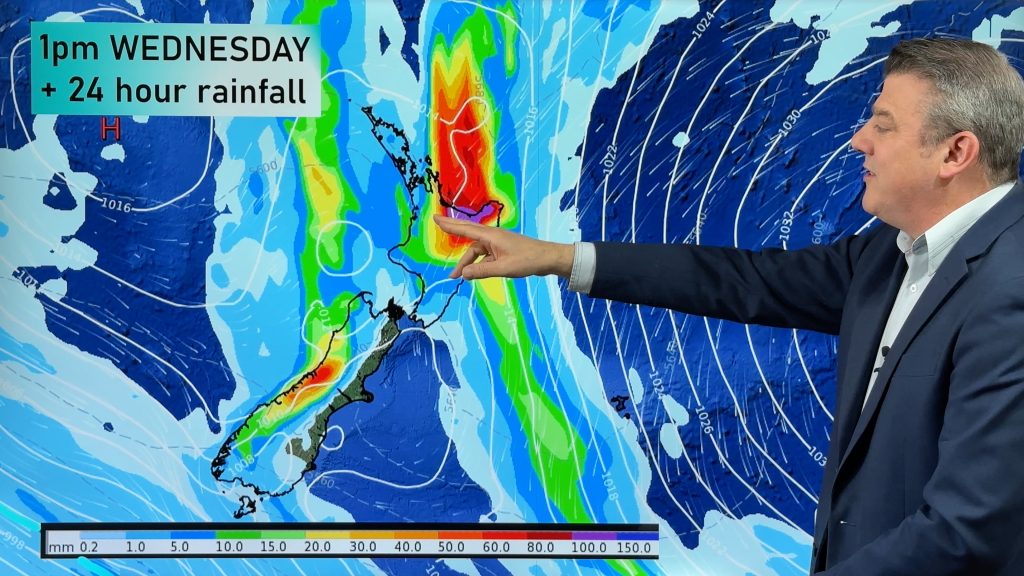
Southerlies behind it could merge with Cyclone Gita so this is creating more uncertainty about how the tropical cyclone will change into an extra-tropical cyclone next week when it arrives in New Zealand, probably around Tuesday/Wednesday.

– Friday air pressure map shows the storm south west of NZ and Severe Tropical Cyclone Gita to the north west / ECMWF.
– By head forecaster Philip Duncan, WeatherWatch.co.nz
Comments
Before you add a new comment, take note this story was published on 16 Feb 2018.


Add new comment
Graeme on 16/02/2018 7:36pm
Couldnt agree more with Leigh’s comments. Phil, your videos give us a great understanding of whats going on, but the best part is we have an idea of what could be going on a week out. Great for planning activities in advance. Cheers Graeme
Reply
Leigh on 16/02/2018 1:56am
Hi Phillip
Just wanted to let you know that your videos and the way you explain the weather systems are the best ever. Thanks for keeping us all updated and well informed
Reply
Alice on 16/02/2018 8:50am
Hear hear! Phillip provides such detailed explanations that are easy and intriguing to understand, without exagerrating and keeping it down to earth.
Reply
Steve on 15/02/2018 3:29am
Interesting that some models are showing a new low forming off the South Island West Coast as Gita crosses central NZ Tues/Wed?
Also reasonably high tides due at the same time. Looks ugly.
Reply
WW Forecast Team on 15/02/2018 4:51am
Hi Steve, Fehi left a similar low behind, it was very small but proved to be deadly in Auckland – they can be very dangerous systems. Still a fair bit of uncertainty over the precise set up for New Zealand but the next 24 to 36 hours will be helpful at fine tuning where the centre will go – and that makes a big difference for which areas might be impacted by any storm surge/coastal flooding.
Cheers
Phil D
Reply