> From the WeatherWatch archives
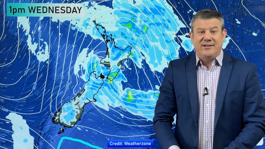
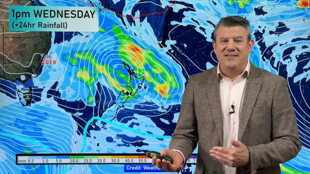
Gisborne and Hawkes Bay are the latest regions to have rain warnings issued for them as a quickly developing low moves towards New Zealand.
Conditions are still mostly calm across the country however WeatherWatch.co.nz head weather analyst Philip Duncan expects the weather to go downhill quite quickly later this afternoon and into tonight.
“You have to remember this low is still developing so while it’s calm and cloudy for most in the upper North Island it will all change tonight and tomorrow as heavy rain and strong winds move in”.
But Mr Duncan says it’s not the upper North Island he’s most concerned about, it’s eastern areas. “For a week now the computer models have been showing this low quickly crossing northern New Zealand and then stalling off the east coast, between East Cape and Wairarapa”
“I believe this low could prove to be a significant event with an elevated risk of serious flooding and slips across East Cape, Gisborne and Hawkes Bay from Monday through until Thursday”.
While 60 to 90mm of rain is predicted by MetService for Northland, Coromandel Peninsula, Bay of Plenty and Rotorua numbers are far more staggering for Gisborne and Hawkes Bay with up to 250mm possible and predictions that more heavy rain will fall on Thursday – meaning extensions of current rain warnings for the area.
WeatherWatch.co.nz says anyone with interests in the eastern North Island should be well aware of the approaching rain storm and farmers should today be moving stock.
WeatherWatch.co.nz also advises motorists that slips may close or affect state highways in the region next week.
Comments
Before you add a new comment, take note this story was published on 3 Jul 2010.


Add new comment
Glenda on 3/07/2010 11:17pm
Steady rain overnight about 17ml and another 10ml accumulated this morning. At least it looks like Northland won’t be so hard hit as expected. Pouring hard at the moment but looks like the worst will be over by late this afternoon. No wind yet.
Reply