Muggy overnight lows mean tough sleeping conditions for Auckland & northern NZ
9/12/2021 8:33pm

> From the WeatherWatch archives
Auckland’s overnight lows are warmer than average and they will likely get even warmer in the nights ahead.
Humid, cloudy, weather is locking in daytime heat and pushing the city warmer than average – something that was well expected as La Nina was forecast back in spring.
As clouds break during the day more heat is let in – then as clouds return at night it acts like a big thick duvet, trapping that heat and humidity and that’s why overnight lows in Auckland and other northern areas may fail to dip below 20 degrees in the week ahead. Yes, we said week ahead.
The daytime highs vary – cloud cover can limit how hot it is, but a break in the cloud can see rapid heating (as Auckland saw yesterday with a high of 27C). Coastal breezes can help – but that’s only if you can feel them. Inland areas, especially places like Henderson in West Auckland, and rural areas inland too, may well be in the mid to late 20s at times…but only if the clouds break.
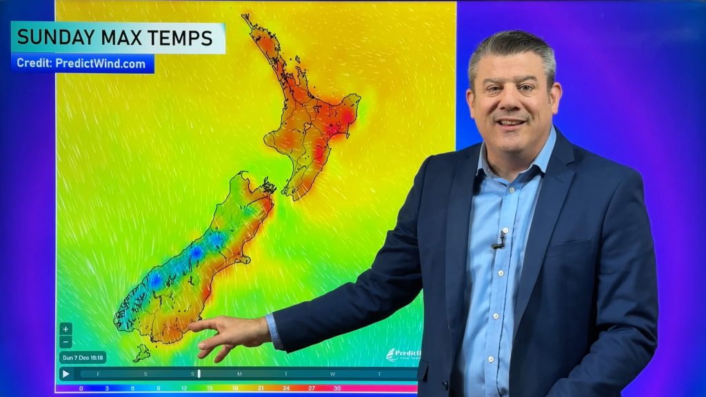
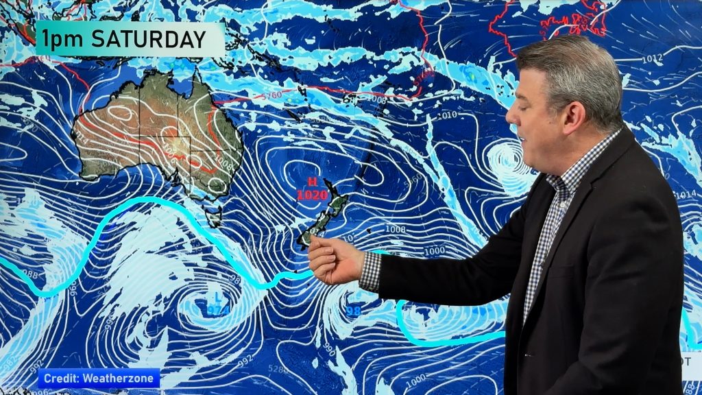
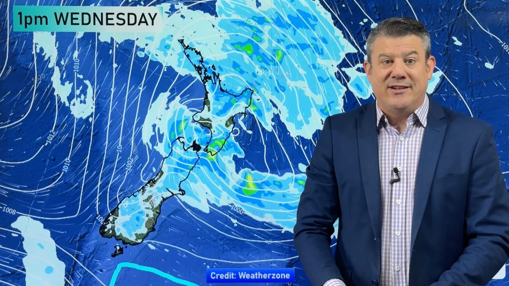
Despite Auckland have some hot days this week (today again), there is a slightly cooler trend arriving across the North Island this weekend, which may be noticed (by day anyway) in the upper North Island by Sunday as rain clouds return.
You can see cloud cover, humidex (feels like) temperatures in graph form and hourly temps for all parts of NZ at www.RuralWeather.co.nz.
Comments
Before you add a new comment, take note this story was published on 9 Dec 2021.


Add new comment