> From the WeatherWatch archives
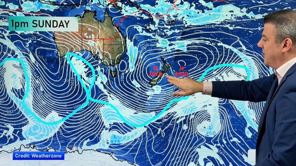
The hotter air flow that is increasingly building between New Zealand and Australia is also bringing smoke back over the Tasman Sea and towards NZ.
It won’t be as thick or dramatic as it was in early January but will affect our skies until early next week.
On Tuesday evening WeatherWatch.co.nz followers told us of smoke altering the sky colour again around Queenstown and Wanaka.
This photo came in from John Wedlake in Wanaka on Tuesday night.
@WeatherWatchNZ Australian bush fire smoke is making weird patterns in the sky in #wanaka tonight. pic.twitter.com/D88cx5FwkH
— John Wedlake (@Oletinner) January 28, 2020
With westerly to north westerly airflows moving from Australia, across the Tasman Sea, and over New Zealand this weekend, we can expect varying amounts of smoke at higher altitude to make the blue sky look more pale/smokey, the horizon look ‘dirty’ coloured and sunrise/sunsets more orange – potentially affecting visibility in some locations too.
Some may also notice the moon has an orange tinge to it at night.
*Images and some parts of this story were originally published Wednesday Jan 29

WeatherWatch.co.nz estimates the North Island will potentially be more exposed over the coming days, but some wind flows will see South Island skies possibly impacted at times too.
#Smoke from fires in the #ACT and southern #NSW is seen here streaming into the Tasman Sea. Heatwave conditions will raise fire dangers in coming days, heat peaking Saturday. For the latest fire info #NSWRFS: https://t.co/wmduYxNR14 Latest forecast: https://t.co/3oIJQcpTAM pic.twitter.com/gjIqBDEGgI
— Bureau of Meteorology, New South Wales (@BOM_NSW) January 29, 2020
– WeatherWatch.co.nz
Comments
Before you add a new comment, take note this story was published on 1 Feb 2020.


Add new comment