> From the WeatherWatch archives
After an incredibly settled June the month of July is living up to its usual stormy reputation with yet another set of severe weather likely on the way.
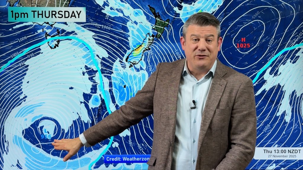
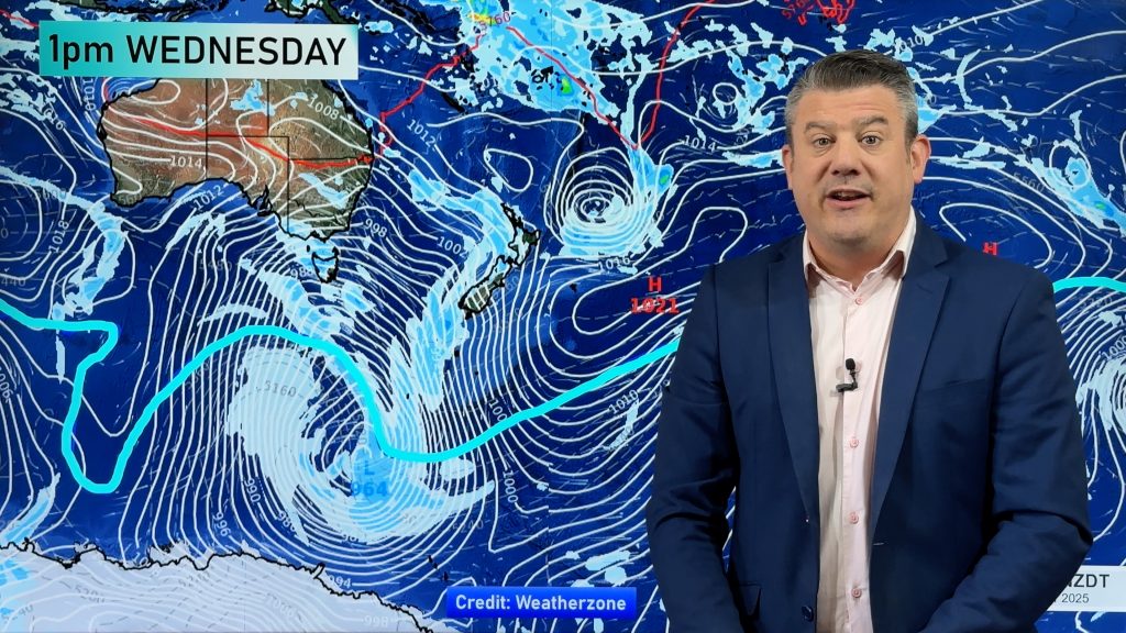
Low air pressure is going to push against a high to the north of New Zealand as the week progresses creating gusty winds across the country and delivering heavy rain to a number of places.
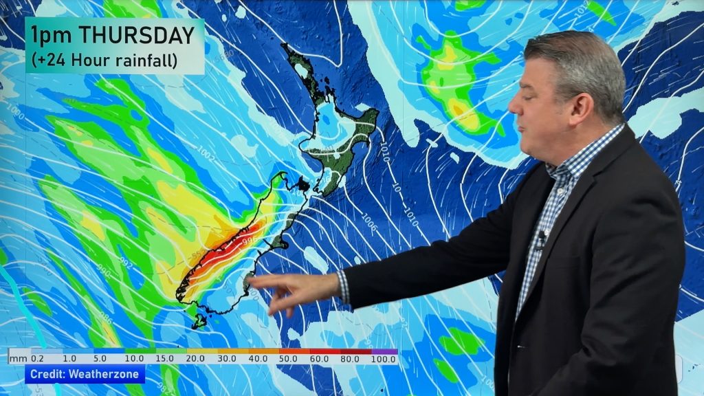
The main feature of the week will be a low forming in the Tasman Sea which will drive in heavy rain to the west coast of both islands during Thursday and Friday.
Following recent heavy rain WeatherWatch.co.nz advises farmers and those in flood prone areas of Northland and East Cape to be aware that more rain is on the way. “At the moment the soil is saturated in the north and further rain may cause more problems this Thursday through Saturday. There are no weather warnings, we are simply wanting people to be aware that more heavy rain could be on the way” says head weather analyst Philip Duncan.
Mr Duncan says after recent torrential downpours slips and minor flooding would be “highly likely” if another band of heavy rain moves in.
MetService has issued a severe weather outlook for the country cautioning those in the west coast of both islands as far north as coastal Waikato that they have “moderate confidence” of heavy rain this Thursday. The government forecaster also has some confidence of heavy rain around Gisborne and East Cape this Friday and Saturday and a low risk of severe gales about Northland and Auckland on Thursday.
Comments
Before you add a new comment, take note this story was published on 20 Jul 2009.


Add new comment
Pete on 20/07/2009 4:28am
Will there be any decent rain for the central plateau and the tongariro headwaters?
Reply