> From the WeatherWatch archives
Heavy rain and showers have been spreading across a number of North Island regions today with Coromandel, Bay of Plenty, Waikato, Horowhenua, Kapiti and Wairarapa receiving some big falls.
Warmer weather has spread behind the rain with some places in Northland closer to 20 degrees this afternoon and 18 and 17 across Auckland, Waikato, and Bay of Plenty.
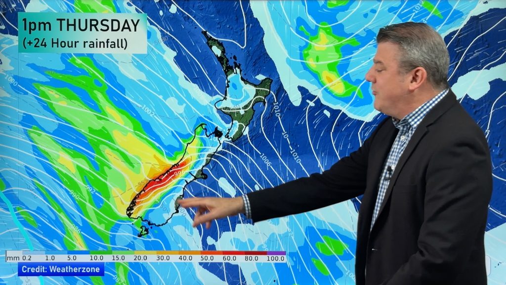
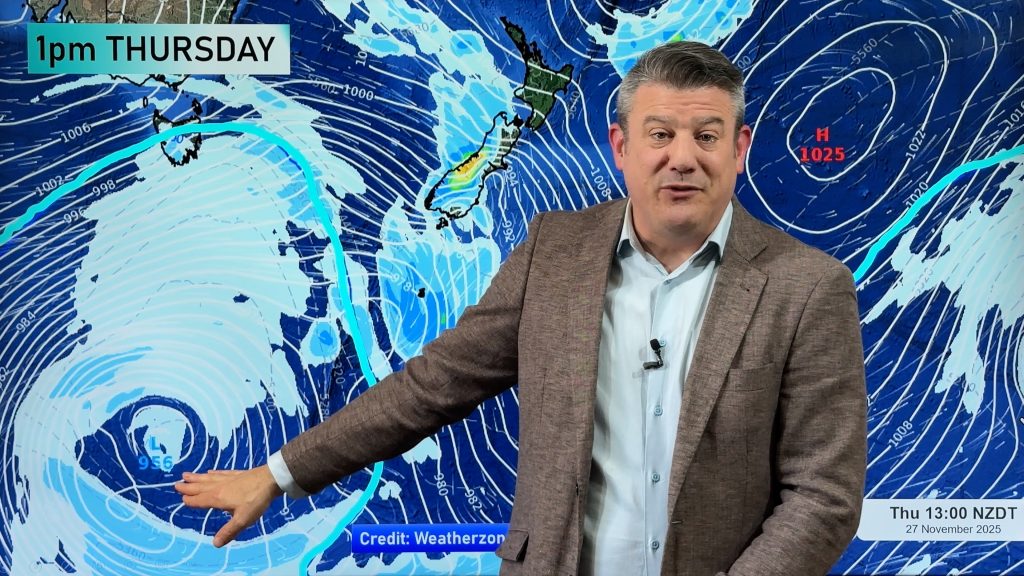
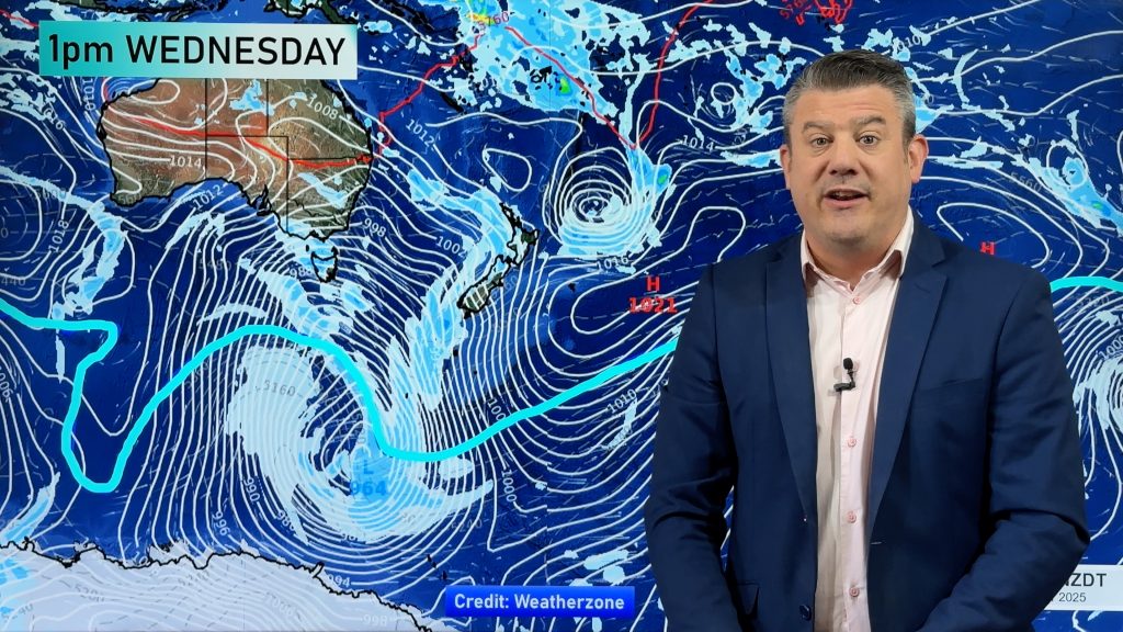
More heavy rain is on the way though as a low that covers much of the Tasman Sea slowly churns towards us. There are several fronts at play with the next one moving in tonight, mostly affecting western and central parts of New Zealand.
The band of rain may contain some localised heavy downpours and isolated thunderstorms in places like Taranaki. Rain may linger around central New Zealand during Thursday morning.
But a larger front, an occluded one, will spread across western New Zealand from about midnight Thursday through until noon Friday. Head weather analyst Philip Duncan says occluded fronts can bring sustained periods of rain. “An occluded front is basically when a cold front has caught up with a warm front and the two combine…it’s two fronts in one. This one is expected to drape along the entire west coast of New Zealand and may well bring thunderstorms and heavy downpours to a number of places from midnight Thursday to later on Friday”.
Lightning detectors have been picking up thousands of strikes out in the Tasman Sea for the past few days as the active large low continues to organises itself.
During Friday and Saturday the low is expected to slowly cross the country with another cold southerly burst of air moving up the country later in the weekend.
The southerly should arrive during Sunday and Monday and may well bring some snow to relatively low levels in Southland, Otago and Canterbury. Current projected highs for Monday in Invercargill, Dunedin and Timaru are all around the 6 or 7 degree mark.
Comments
Before you add a new comment, take note this story was published on 10 Jun 2009.


Add new comment