> From the WeatherWatch archives
The southerly blast is working up to cross NZ over the next 36 hours and it has already begun in the southern parts of the country.
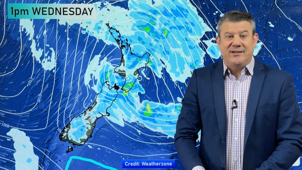
Colder southerlies will spread north gradually, but the process is slowed down and complicated by a developing low pressure system which will cross central New Zealand / Cook Strait around midnight Friday – behind that is the main cold southerly.
In other words, Friday turns wintry for the South Island while Saturday it’s the North Island’s turn.
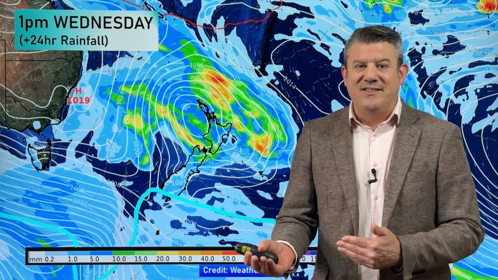
Here are rain and air pressure/temperature maps explaining more…
The #WestCoast deluge continues today and doesn’t end until Friday.
Here are the latest rainfall totals coming up. This is a SIGNIFICANT rain event.
In saying that, the West Coast is definitely the place to be this Saturday and Sunday in #NewZealand with mostly Sunny #weather! pic.twitter.com/5SxBgehWmj
— WeatherWatch.co.nz (@WeatherWatchNZ) May 30, 2019
#Weather isn’t at ground level only, which is why thickness maps (like this) are important. Roughly 500hPa temperature = 5000 metres above sea level.
What this map does is show you how far north this southerly powers forth – and how much of the atmosphere it ‘eats’ into: #Brrr! pic.twitter.com/8N2KG6mW7a
— WeatherWatch.co.nz (@WeatherWatchNZ) May 30, 2019
– WeatherWatch.co.nz
Comments
Before you add a new comment, take note this story was published on 30 May 2019.


Add new comment