Monday’s News: Thunderstorms move north – Cold mornings in the south – High end of the week
5/11/2023 6:00pm

> From the WeatherWatch archives
Here’s what is making the weather headlines today…..
THUNDERSTORMS MOVE NORTH
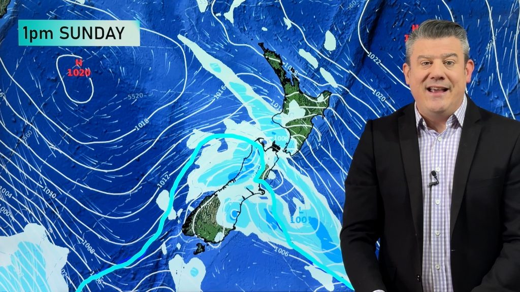
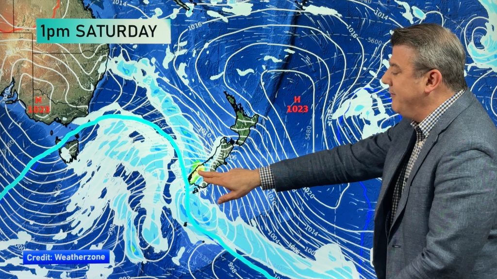
The South Island experienced thunderstorms in the weekend, the eastern South Island on Saturday then the northwestern corner of the South Island on Sunday. This risk moves north today with the Central North Island, Waikato and Bay Of Plenty holding a chance of storms and heavy falls, hail is possible to.
Tasman has some residual instability so there is a risk of something forming there this afternoon but the risk is less than further north.
A risk of thunderstorms again on Tuesday for nearly the exact same spots as today, North Island storms have a higher chance than Tasman.
For more details on today and tomorrow’s thunderstorm outlook from Metservice please click here.

Metservice.com 

Thunderstorm near Geraldine on 04/11/2023 – Photo: Aaron Wilkinson
COLD MORNINGS IN THE SOUTH
A few cold mornings coming up, clear-ish skies and high pressure means there is a chance some may get a light frost for mountainous parts of the South Island. The risk is further south this morning, shifting north on Tuesday morning. Wednesday morning the risk diminishes quite a bit but a slim chance remains of a light frost for the upper South Island inland first thing.
More here.
You can also go to ruralweather.co.nz , use the search function and click on the “Frost” tab.
LONG AWAITED HIGH END OF THE WEEK
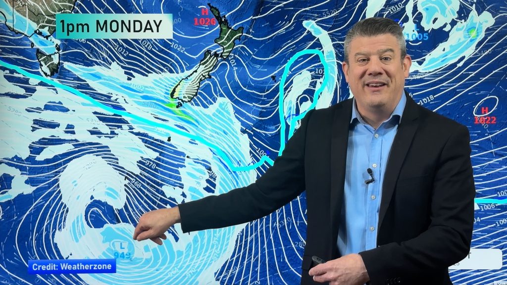
While a high pressure system in the Tasman Sea teases us this week it doesn’t fully move over till about Friday or Saturday. Till then we’ll have showers most days somewhere, heavy thundery falls too especially for the North Island today and Tuesday, this risk subsides on Wednesday but afternoon isolated showers may still develop for some.

Comments
Before you add a new comment, take note this story was published on 5 Nov 2023.


Add new comment