Monday’s national forecast – Front passes over from the west (+12 maps)
25/07/2021 4:00pm
> From the WeatherWatch archives
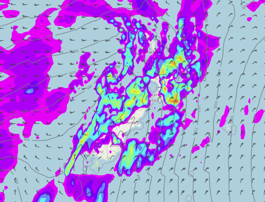
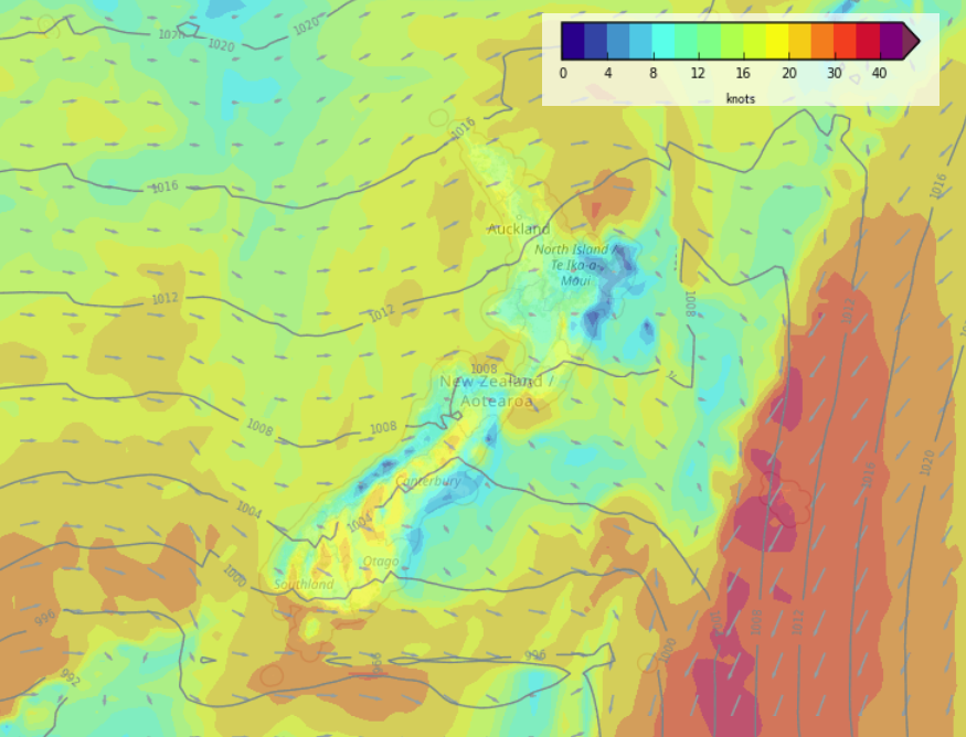
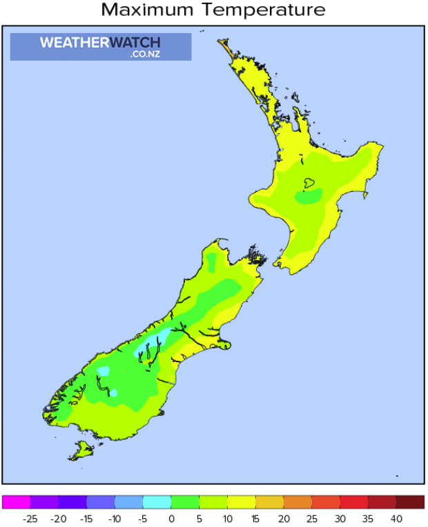
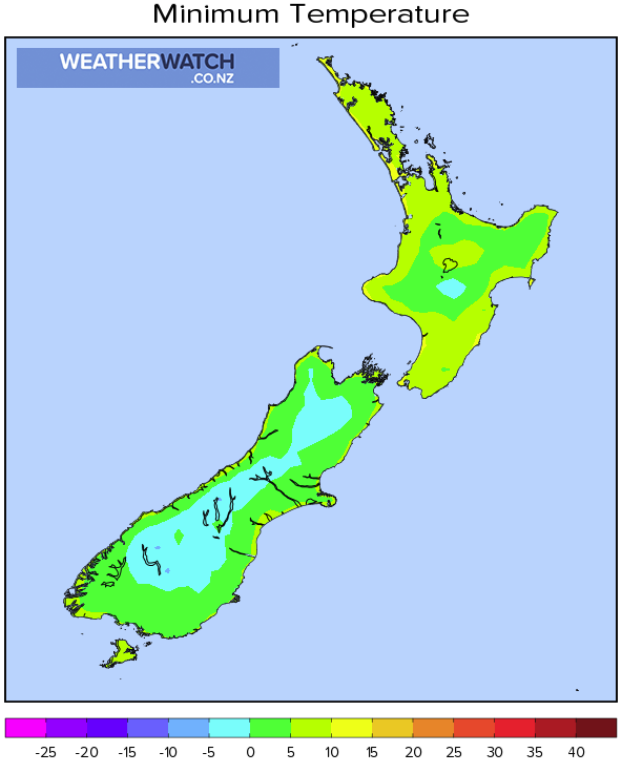
A front passes over New Zealand today moving in a west to east fashion, this evening a trough then moves into western regions, especially the western North Island with unstable activity possible.
Please refer to your local, hourly, 10 day forecast for more details.
North Island
Rain pushes through this morning from the west, perhaps the chance of a heavy fall and rumble of thunder about Northland and Auckland then easing by midday to showers as gusty northeasterlies change northwest. This evening about western coastal areas a few heavy isolated showers may move back in, possibly with a thunderstorm. The east coast has plenty of high cloud, some scattered rain spreads from the west at times.
South Island
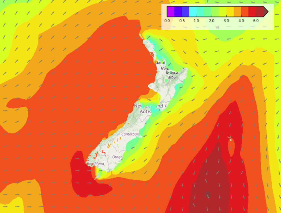
Rain for the West Coast and up into Nelson / Marlborough, a few heavy falls about then easing from this afternoon as gusty northeasterlies may tend a little more to the north. The West Coast may continue to see the odd heavy shower from afternoon and especially this evening. Canterbury through to Southland is mainly dry with plenty of high cloud, there could be a spit of rain from midday. Gusty to strong northeasterlies along the coast then this evening southwesterlies move into Southland and Otago with some rain, pushing into Canterbury overnight.




Comments
Before you add a new comment, take note this story was published on 25 Jul 2021.


Add new comment