Monday’s national forecast – Front over central NZ (+12 maps)
5/12/2021 3:00pm

> From the WeatherWatch archives
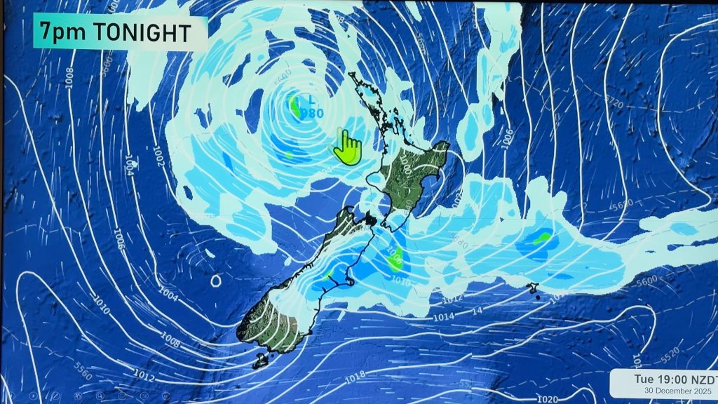
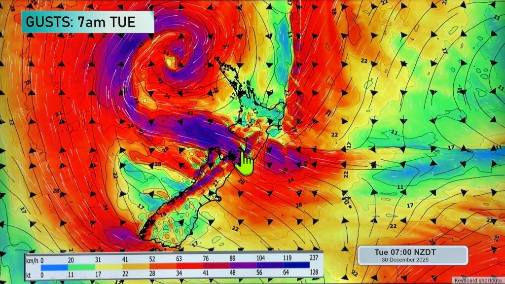
A front lies over central New Zealand today bringing rain, southerly quarter winds behind the front, northerlies in front.
Please refer to your local, hourly, 10 day forecast for more details.
North Island
Some cloud and occasional sunny spells for the upper North Island, the odd shower about eastern coastal areas (Bay Of Plenty through to eastern Northland) then springing up elsewhere in the afternoon. Waikato may see a heavy shower and thunderstorm develop then easing later in the day. Light north to northeasterly winds. Mostly sunny for Hawkes Bay and Gisborne with some high cloud, Hawkes Bay sees a few spots of rain later in the day. Taranaki through to Wellington has rain, heavy falls for Wellington then starting to ease from afternoon.
South Island
Rain for Nelson and Marlborough, heavy this morning then gradually easing. Mostly cloudy in the east with occasional showers, conditions become mainly dry this afternoon for Southland and Otago. A few light snow flurries to 700 or 600m this morning about Southland and Otago. The West Coast has a mix of sun and cloud, chance of a shower mainly this morning and continuing at times for Buller. South to southeasterly winds.
WeatherWatch.co.nz is proud to be setting the international standard for forecasting in NZ – powered by IBM


Comments
Before you add a new comment, take note this story was published on 5 Dec 2021.


Add new comment