Monday’s national forecast – Deep low brings unsettled weather in the north (+13 maps)
11/07/2021 7:39pm

> From the WeatherWatch archives
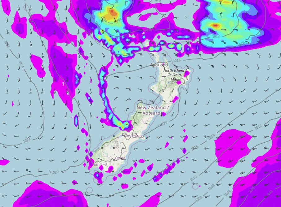
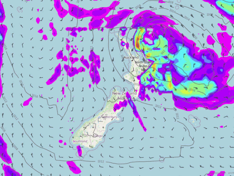
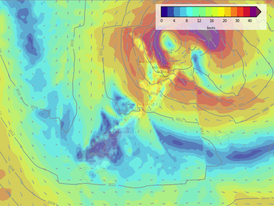
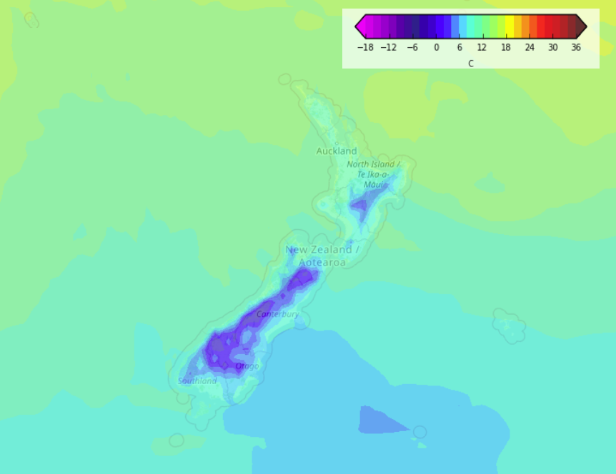
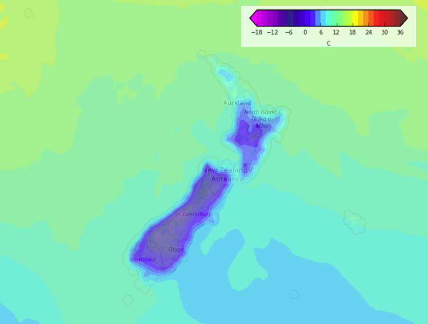
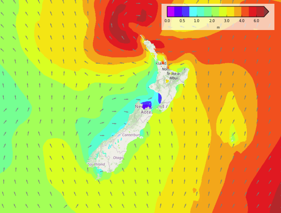
Updated — A deep low pressure system moves close to the upper North Island today pulling in a strengthening southeasterly airflow, meanwhile the South Island sits under a ridge of high pressure with a weakening front moving onto the far south. Basically a low pressure system is merging with a ‘squash zone’ of wind.
Please refer to your local, hourly, 10 day forecast for more details.
North Island
Southeasterlies strengthen about the upper North Island today with cloudy skies, winds rising to gale force for some coastal areas especially in the east. Rain becomes heavy about Northland this afternoon then Coromandel and East Cape later this evening. Showers move into Auckland around midday then turning to some rain by evening. Waikato and Bay Of Plenty may stay dry till this evening then expect some rain. Taranaki through to Wellington has a dry day but there may be some high cloud. Cloudy for the east coast with showers, picking up a little from afternoon, easterly winds.
South Island
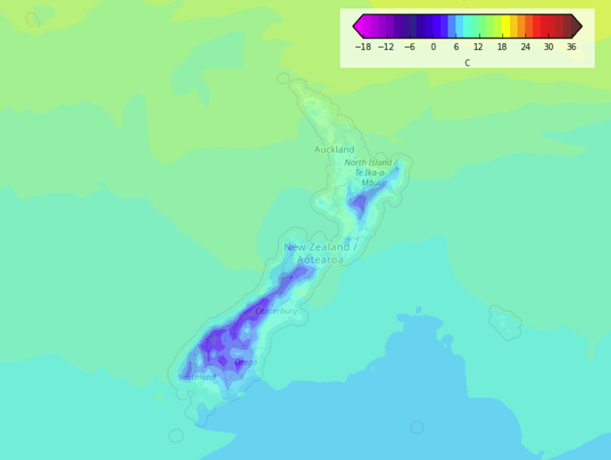
Mostly sunny, very frosty to start especially inland and in the east. A touch of high cloud for Nelson and Marlborough. Parts of North Westland / Buller may see a shower then clearing this afternoon. Southland and Otago has some high cloud, showers this afternoon for Southland with a southwest change, showers then move into Otago this evening, mostly clearing up overnight. Frosty overnight once again, heavy inland in spots.



Comments
Before you add a new comment, take note this story was published on 11 Jul 2021.


Add new comment