> From the WeatherWatch archives
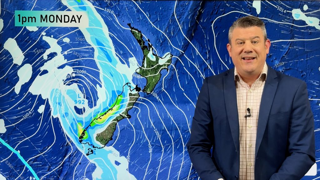
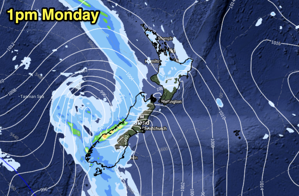
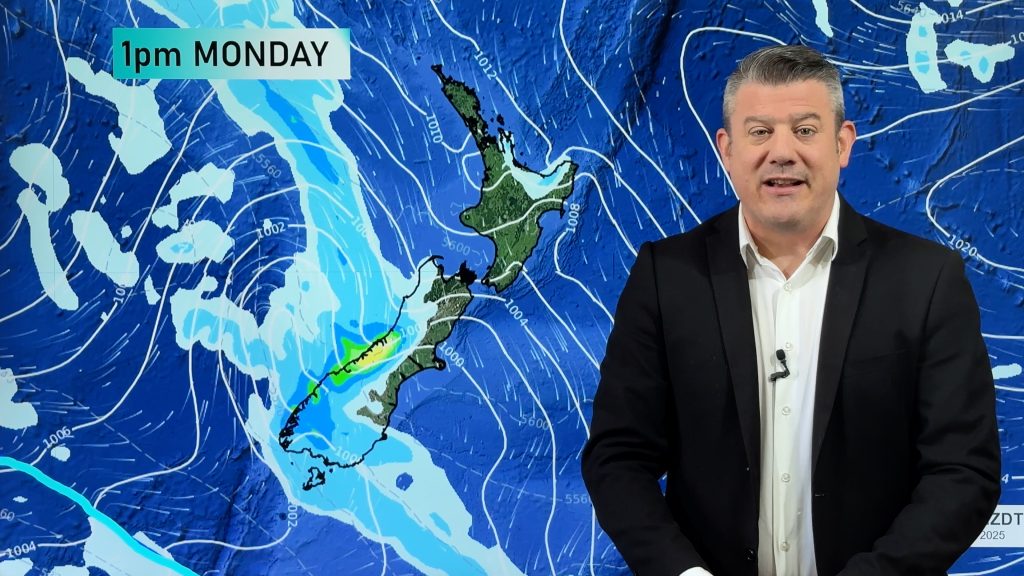
A front moves onto the lower South Island early this morning then moves northwards however it quickly weakens as it does so, meanwhile a large low brews in the north Tasman Sea.
Northland, Auckland, Waikato & Bay Of Plenty
Patchy rain or drizzle this morning then drying out from afternoon, a chance of fog to start the day for inland parts of the Waikato / Bay Of Plenty. Showers or drizzle may continue for much of the day about Northland. Easterly winds.
Highs: 15-17
Western North Island (including Central North Island)
Looking mainly dry although there may be an early clearing shower, expect plenty of high cloud. A chance of fog this morning about the Central North Island also. Kapiti may see a few showers feed in from the west at times.
Highs: 12-15
Eastern North Island
Sunny areas and some high cloud, light winds change southerly late afternoon or evening bringing increasing cloud.
Highs: 17-18
Wellington
A cloudy morning with the chance of a shower, sunny spells develop in the afternoon as breezy northwesterly winds change southerly.
High: 14
Marlborough & Nelson
A mainly sunny day although late afternoon some cloud increases about Marlborough as winds tend southerly.
High: 15-16
Canterbury
Some early sun then cloud quickly increases as winds tend southerly, some drizzle possible about inland areas from afternoon otherwise mainly dry.
High: 11
West Coast
Rain early on then quickly easing and clearing around midday, some sun starting to break through from afternoon.
Highs: 12-14
Southland & Otago
Early morning showers clear then sunny areas increase, southwesterlies die out in the morning.
Highs: 9-11
By Weather Analyst Aaron Wilkinson – WeatherWatch.co.nz
Comments
Before you add a new comment, take note this story was published on 18 Jun 2017.


Add new comment