> From the WeatherWatch archives
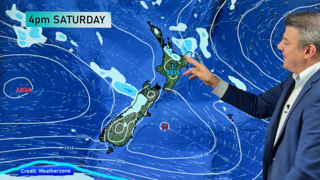
A northwesterly airflow builds over New Zealand today then a front coming in from the southwest hits the lower South Island late afternoon / evening bringing in a cold change.
Northland, Auckland, Waikato & Bay Of Plenty
Cloudy areas, risk of a shower or two. Mainly dry about the Bay Of Plenty with more frequent areas of sun. West to southwesterly winds.
Highs: 16-17
Western North Island (including Central North Island)
Cloudy with a shower or two, plenty of dry areas too. Breezy west to northwesterly winds.
Highs: 10-16
Eastern North Island
Sunny with northwesterly winds this afternoon.
Highs: 18-19
Wellington
Sunny areas and increasing cloud, northwest winds increase. Overnight showers.
High: 15
Marlborough & Nelson
Sunny areas and some high cloud about Marlborough, sunny spells and increasing cloud for Nelson. North to northwesterly winds pick up this afternoon.
High: 15-17
Canterbury
Sunny areas and increasing high cloud, northwesterly winds, becoming strong about inland areas this evening especially about North Canterbury. An overnight southwest change may bring a few showers.
High: 17
West Coast
Rain or drizzle, rain becoming heavy about South Westland this afternoon then becoming heavy further north in the evening. Rain eases overnight. Increasing northwesterly winds.
Highs: 11-14
Southland & Otago
Sunny areas and increasing high cloud, chance spit after midday then late afternoon / evening a southwest change brings some rain which clears at night.
Highs: 13-16
By Weather Analyst Aaron Wilkinson – WeatherWatch.co.nz
Comments
Before you add a new comment, take note this story was published on 11 Jun 2017.


Add new comment