> From the WeatherWatch archives
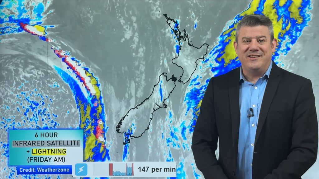
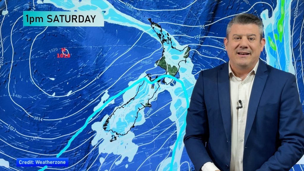
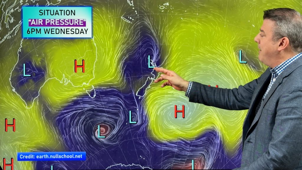
Strong cold southwesterlies lie over the country today. Rain eases to showers this afternoon for most North Island regions, clearing for some. Gales are possible for some too, especially about Wellington and most coastal areas. In the South Island conditions clear up this morning on the West Coast and about Nelson / Marlborough. Showers ease along the east coast clearing around midday for Southland / Otago then later in the afternoon further north.
ease becoming few and far between during the afternoon, cloud gradually
breaks.
Auckland
tend strong to gale southwest by midday. Rain eases to showers in the afternoon
which become few and far between, cloud begins to break.
Bay Of Plenty
increase during the afternoon. Strong southwesterlies develop late morning with
a risk of gales then easing in the evening.
Waikato & Central North Island
southwest by late morning then rain eases to showers which clear early
afternoon, sunny spells then increase. About southern parts of the Central North
Island showers may last till evening, expect some heavy snow about the Central
Plateau to 800m at first then easing and lowering to 400m in the evening before
clearing.
Eastern North Island
heavy with a chance of hail at times. A risk of gales especially near the coast
this afternoon. Snow flurries to 800m at first then lowering to 400m in the
evening before clearing overnight, flurries may reach down to 300m in the
evening about the Wairarapa but will most likely only be light.
Taranaki
areas increasing. Brisk southerlies ease later in the evening.
Western North Island
midday, brisk southwesterlies. Showers could contain hail at times then clearing
in the evening.
Wellington
afternoon then clearing in the evening. Strong to gale southerlies ease later in
the day.
Nelson
brisk cold SSW winds ease in the evening.
Marlborough
increase, brisk cold southerlies ease later in the evening.
Canterbury
afternoon then gradually clearing by evening. Showers more persistent nearer the
coast with showers inland more infrequent. Strong cold southwesterlies with
gales possible near the coast then easing in the evening.
West Coast
early showers clear further north then mostly sunny with brisk southerlies
easing in the evening.
Coastal Otago
clearing around midday and cloud breaking during the afternoon. Strong
southwesterlies ease later in the day.
Central Otago
sunny by midday. Cold southwesterlies dying out by evening.
Southland
midday, sunny spells increase in the afternoon with cold southwesterlies
easing.
By Weather Analyst Aaron Wilkinson – WeatherWatch.co.nz
Comments
Before you add a new comment, take note this story was published on 21 Sep 2014.


Add new comment