Monday (NYD) Newsfeed: Settling down
31/12/2023 4:00pm

> From the WeatherWatch archives
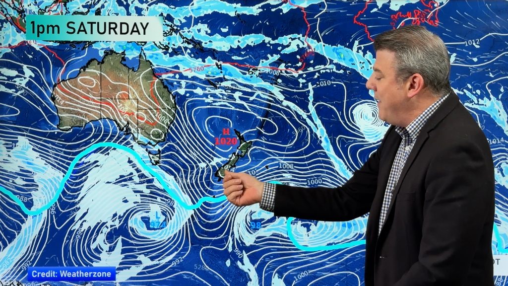
New years eve was a little unsettled for some but thankfully today we are seeing more influence from a high pressure system in the Tasman Sea to kick off 2024. A bit of a cold start for the South Island especially alpine areas.
A front clears this morning away to the northeast of the North Island meanwhile a trough in behind delivers a few final showers to the lower North Island before departing by midday.
Sun increases for most, the West Coast may continue to see a shower or two till mid or late afternoon.
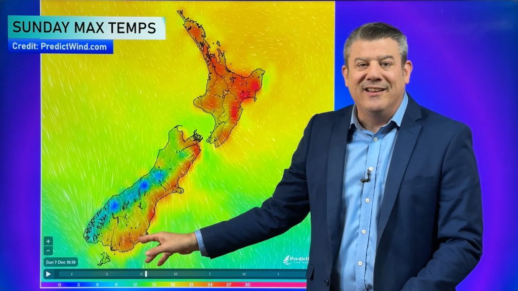
The Bay Of Plenty scores the warmest afternoon temperatures reaching into the mid twenties. An east to northeasterly wind freshens for Canterbury this afternoon.
Maps most relevant today are…
- Live Rain Radar
- Animated Temperature Maps
- RuralWeather: Localised Cloud, UV & Temperature Data & Graphs
See your local hourly & 10 day forecast at WeatherWatch.co.nz – or for more details and event planning visit RuralWeather.co.nz for the most detailed and hyper-local forecasts in NZ.


WeatherWatch.co.nz – Daily Newsfeed
Comments
Before you add a new comment, take note this story was published on 31 Dec 2023.


Add new comment