Monday Newsfeed: Severe weather around the country, pockets of calm for some (+8 Maps)
3/03/2024 8:51pm

> From the WeatherWatch archives
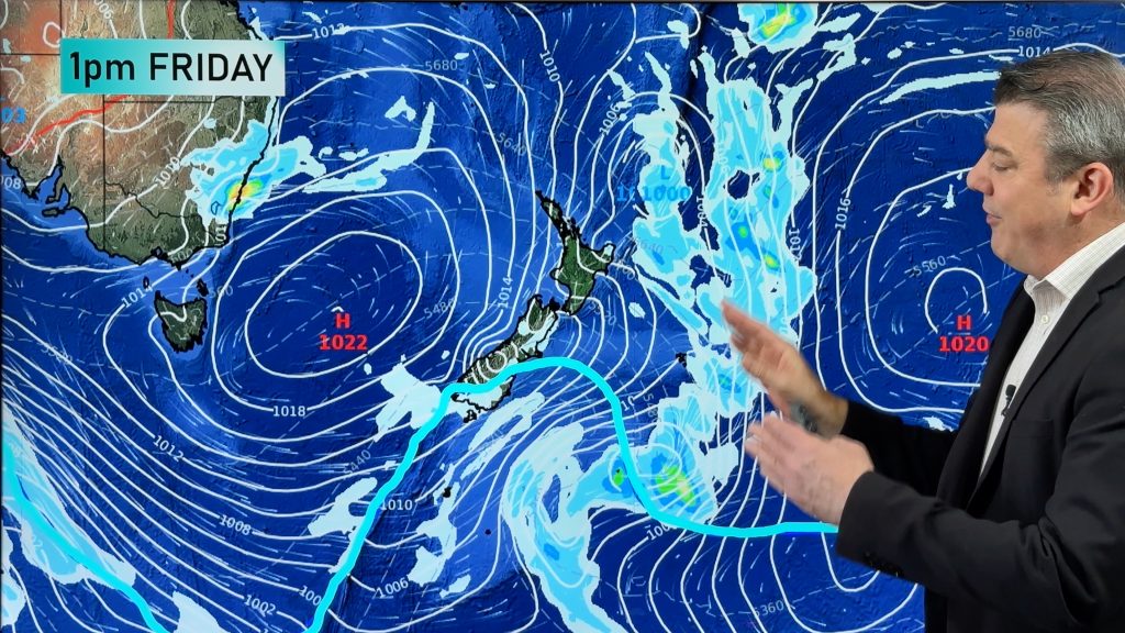
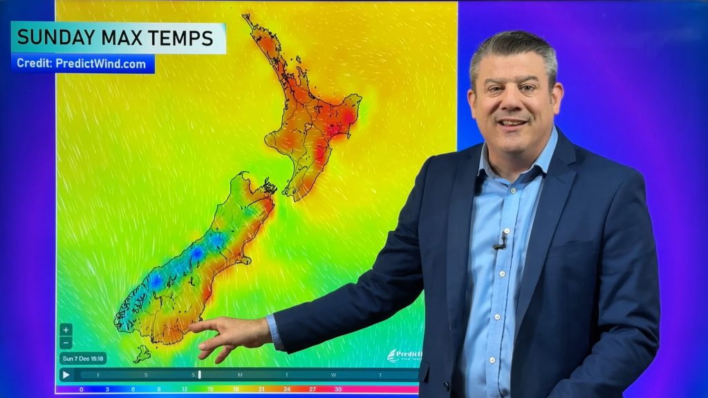
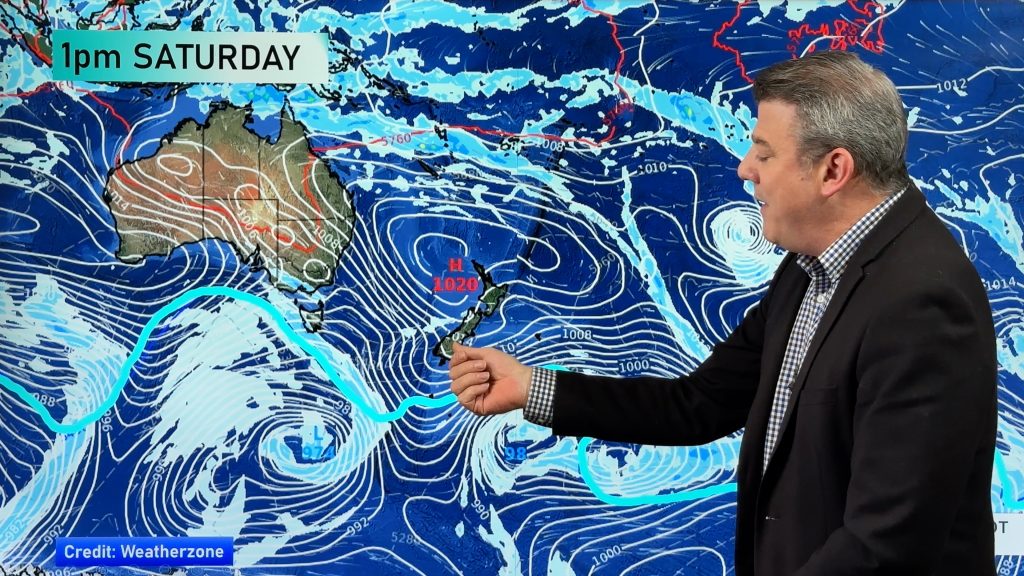
A storm is tracking past NZ (the centre is to the south of the South Island) with severe gales, heavy rain and snow all in the forecast. NZ’s mountains and ranges mean some areas will have severe weather while others, possibly quite nearby, may have fairly settled weather. However the size of this storm means severe weather risks extend across both islands despite the pockets of calm.
Gales and heavy downpours with isolated thunder are possible right up to northern NZ, with wet weather mostly on the western side. However the bulk of the severe weather looks to be south of Waikato and across the South Island and extends from west to east in some cases. See official MetService warnings below.
For many regions there may be two parts to this system – one on Monday as it moves in and the other on Tuesday as it moves away and more of a southerly flow kicks in.
Our new Alerting App (and the free version) is helpful at working out general beginning, peak and ending of severe weather. Wind, Temperatures and Rain alerts which you can customise for your area – and during an event like this help calibrate/fine tune those alerts. (Also a critical tool for the upcoming frosty season). Read the FAQ in app for more details. Thanks for your support!
Additional Weather Maps helpful for this storm are…


Comments
Before you add a new comment, take note this story was published on 3 Mar 2024.


Add new comment