> From the WeatherWatch archives
Winter’s wet arrival.
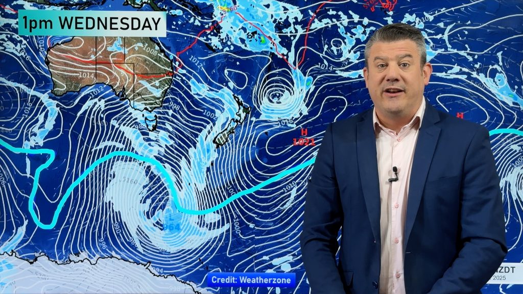
Winter started with a weather pattern featuring wet lows spreading from the Tasman Sea and affecting the North Island and eastern South Island.
Whakatane was deluged with 168 mm on 1st June, and 90 mm of this fell in an hour. During Sunday and Monday of Queen’s Birthday weekend Taranaki had surface flooding, Wellington hail, and Desert Road snow and ice. Also, Lyttelton Marina suffered wind gusts of 111km/hr, sinking two vessels.
In late June and early July, inland South Island had several frosty mornings with an accumulation of severe hoar frosts, cold enough for curling.
Sea Surface Temperature Pattern.
Sea temperatures along the eastern equatorial Pacific Ocean continue to show a cooling trend. If this trend continues, then we are likely to move into a La Nina episode by August. A zone of warmer than normal sea stretches from the Coral Sea towards the north Tasman Sea, so mild conditions are likely to continue in the New Zealand area.
The Southern Oscillation Index (SOI).
The SOI is a parameter compiled from recent weather maps based on the normalized barometric pressure difference between Tahiti and Darwin. It measures the impact of the oceanic pattern on the atmospheric weather. When ocean and atmosphere are in sync in a La Nina pattern the SOI is plus one or more.
In April the SOI jumped sharply to around plus one. This was a temporary blip caused by some low pressure systems then around Darwin. The SOI has recently relaxed to near normal values and its three-month average is borderline La Nina.The only thing that seems to be delaying a change into La Nina conditions is a higher than normal barometric pressure around northern Australia.
Likely weather patterns for the remainder of winter.
Now that we are past the winter solstice, the days are gradually getting longer. The cold of winter is levelling out and things should start to warm up again by mid to late August.
La Nina is likely to have an increasing impact on our weather patterns. When the air starts to warm from late August, fronts and disturbed westerly winds normally cover the whole of New Zealand. With La Nina, these features may tend to be confined to a narrower zone over the South Island, and northern parts of the country may have periods of mild settled weather from passing anticyclones.
During August the frequency of cold snaps may be less than normal, especially over the North Island. Many of the fronts reaching the eastern South Island may contain thunderstorms and hail.
Comments
Before you add a new comment, take note this story was published on 9 Jul 2010.


Add new comment