> From the WeatherWatch archives
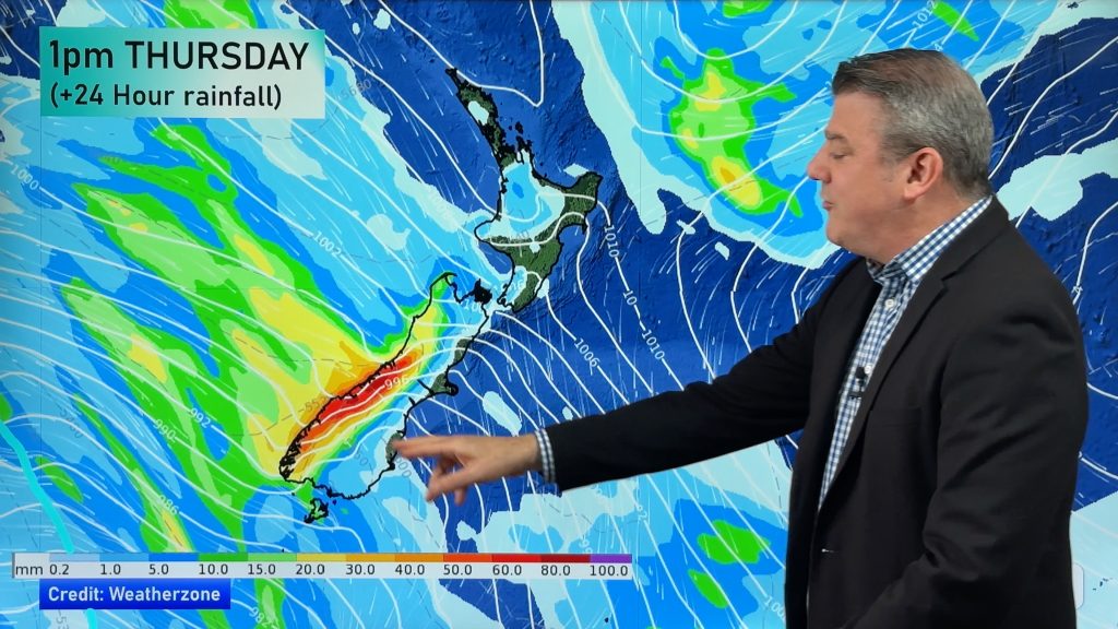
A messy, disorganised, weather pattern remains over the country today with further rain warnings issued this time for Buller and the Nelson region. Heavy rain warnings remain in place across the Coromandel and Bay of Plenty regions.
The main frontal system has slowed down and now stretches from the north west corner of the South Island up to the north east corner of the North Island.
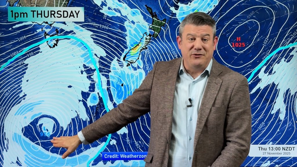
Overnight a low will move south east and deepen off the Hawkes Bay coast where it could fuel heavy rain from Gisborne down to Wairarapa including a strengthening south easterly across the lower North Island.
Scrappy clouds and a few spits of rain remain over parts of the South Island’s eastern and southern regions.
Patches of heavy rain are now moving back in to Coromandel while isolated heavy showers are forming over Northland and may also affect Auckland later today.
Meanwhile it’s a warm day across the North Island with 18 in parts of Northland and Waikato, 17 in Auckland and inland Taranaki and a string of 19s along the Kapiti and Horowhenua coast and Lower Hutt. It’s colder in the South Island with most main centres in single digits but Invercargill on 13.
Comments
Before you add a new comment, take note this story was published on 15 Aug 2009.


Add new comment