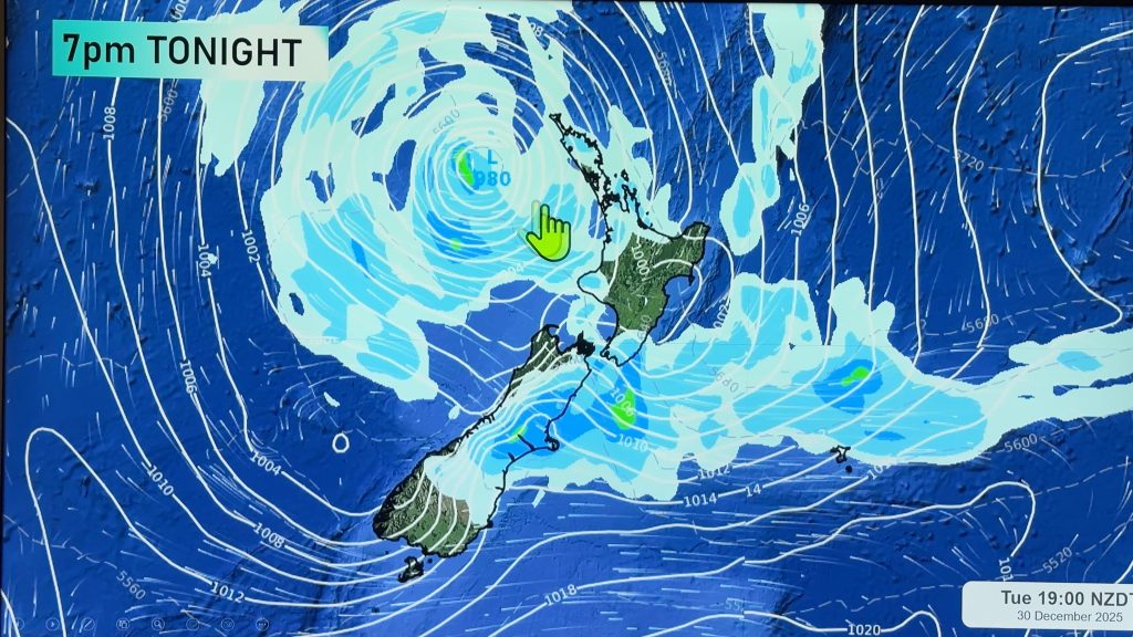
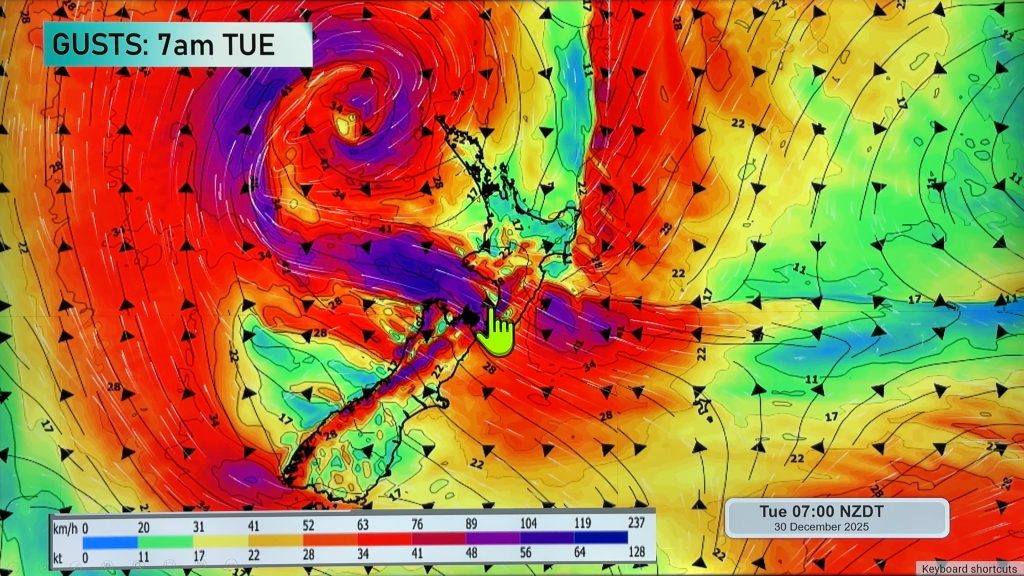
InfoGraphic: The Main Weather News Highlights across NZ: Wed, Thu, Fri
27/06/2017 7:00pm

> From the WeatherWatch archives
High pressure covers much of New Zealand today, although there are a few weak features about one of which may bring a few heavy showers to Auckland then Northland from afternoon / evening. High pressure is mainly in control for Thursday then a northerly airflow strengthens on Friday ahead of a front which crosses the South Island early afternoon then moves onto the western North Island overnight.
Wednesday
Blue – Frosty conditions for some inland areas however eastern coastal parts of the South Island escape this time around due to cloud cover. Lows may get down to -2 to -4 degrees about the inner South Island, 0 to -2 about the inner North Island.
From afternoon and mainly evening a few heavy showers may affect the Coromandel and northern Auckland, perhaps southeastern parts of Northland also although that may not be till overnight.
Thursday
Blue – A few heavy showers about eastern Northland and perhaps Great Barrier Island / Cormonadel ease in the morning.
Frosts continue for inland areas of both islands.
Perhaps a touch of fog to start the day also about the eastern North Island (mainly inland) and also the Waikato. Fog may return again overnight including Auckland although Auckland fog may disappear by dawn on Friday due to some breeze starting to build.
Friday
Blue – Heavy rain develops about South Westland in the morning then pushes northwards to reach Nelson / Marlborough in the evening and overnight. Heavy rain reaches Taranaki overnight also.
A touch of frost possible to start the day about inland parts of the upper North Island.
Purple – Gusty northeasterlies about coastal parts of the West Coast (South Island) from morning, easing evening. Gusty northeasterlies may develop about outer parts of Banks Peninsula from afternoon then easing overnight.
Northerlies becoming strong through Cook Strait in the evening, winds may gust to gale at times. Overnight brisk to strong northerlies develop about the upper North Island and in the west.
Watch for areas of fog first thing in the morning about the Waikato and other inland areas of the northeastern North Island.

– Please note, the idea behind this update is to focus on the main weather highlights, which is why not all regions are mentioned.
For specific 10 day information for your city, town, rural community or island please see the 1500 forecasts on our homepage!
– Aaron Wilkinson, WeatherWatch.co.nz
Comments
Before you add a new comment, take note this story was published on 27 Jun 2017.


Add new comment