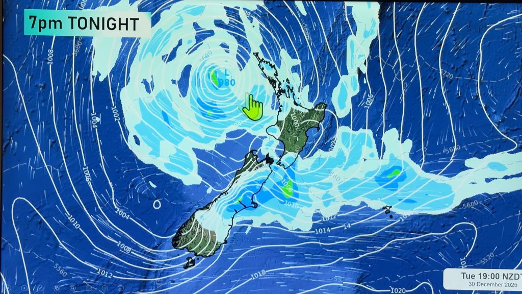
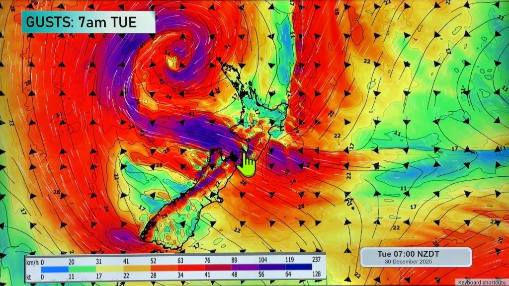
InfoGraphic: The main Weather News Highlights across NZ: Wed, Thu, Fri
13/06/2017 7:00pm

> From the WeatherWatch archives
A strong southwesterly airflow eases later today. Westerlies build over the South Island on Thursday before a moderate southwesterly front moves onto the lower South Island late afternoon, west to southwest winds continue over the North Island.
Wednesday
Purple – Strong to gale south to southwesterly winds ease later in the day for most coastal parts of New Zealand, not easing about the eastern North Island till dawn on Thursday. Winds will be strongest about coastal parts of the eastern North Island late afternoon / evening.
White – Remaining morning snow flurries about parts of Otago and coastal Canterbury to 400 or perhaps even 300m clearing away. Snow will not be heavy although combined with very strong winds, outer parts of Banks Peninsula will be in for a rough day. Snow flurries about the Central North Island to 600m clearing around midday.
Thursday
Blue – A frosty start for most regions away from the coast, temperatures starting out at -3 to 0 degrees celsius for the inner North Island. Temperatures may dip to -4 degrees for isolated parts of the inner South Island (Pukaki / Twizel comes to mind).
Purple – Northwesterlies build about coastal parts of the lower South Island in the morning, winds may gust to gale through Foveaux strait then changing southwest early afternoon where winds could be strong especially about coastal Otago.
Gusty westerlies build about some central parts of New Zealand in the afternoon, easing overnight.
Friday
A slight technical glitch currently so no graphic for Friday however suffice to say Friday is looking fairly calm, it may be a bit cold to start about inner parts of the South Island but that’s basically it in terms of any note-worthy weather.
The weekend is setting up to be quite good weather wise with high pressure dominating for most regions, however Auckland and Northland may see some cloud and a shower or two on Sunday.
– Please note, the idea behind this update is to focus on the main weather highlights, which is why not all regions are mentioned.
For specific 10 day information for your city, town, rural community or island please see the 1500 forecasts on our homepage!
– Aaron Wilkinson, WeatherWatch.co.nz
Comments
Before you add a new comment, take note this story was published on 13 Jun 2017.


Add new comment