InfoGraphic: The Main Weather News Highlights across NZ: Thu, Fri, Sat
26/04/2017 7:00pm

> From the WeatherWatch archives
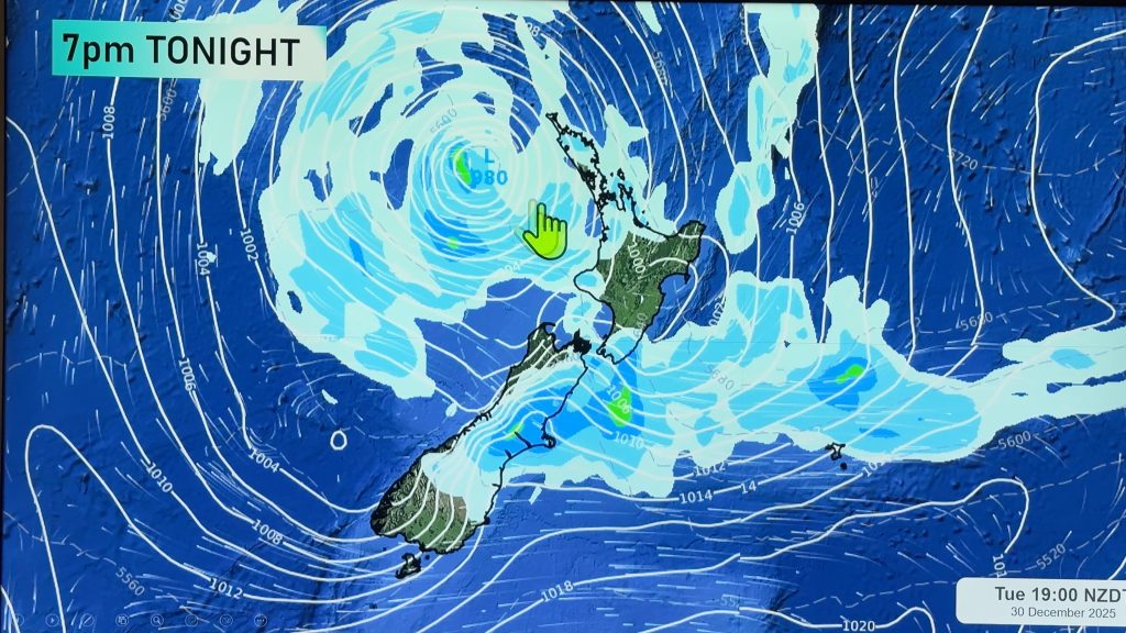
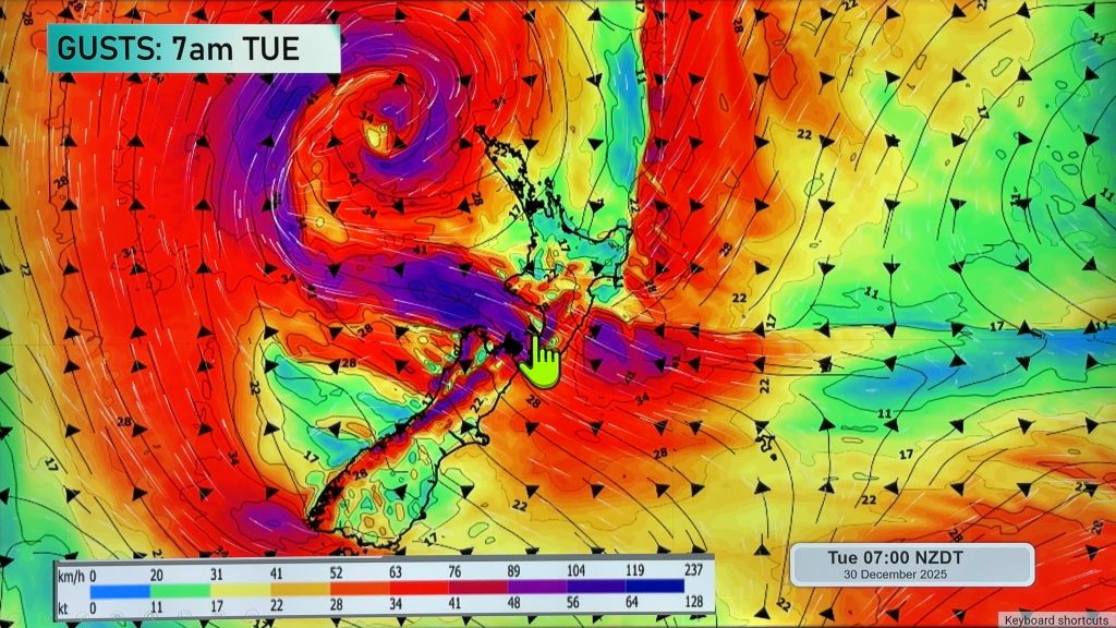
A ridge lies over the North Island today while northwesterlies lie over the South Island, a front moves onto the lower South Island this evening. This front slowly pushes northwards over the South Island on Friday while a northerly airflow lies over the North Island. A low moves in from the northern Tasman Sea on Saturday crossing the North Island later in the day.
Thursday
Blue – Rain becoming heavy about South Westland later this evening then pushing northwards overnight.
Purple – Strong northeasterly winds gusting to gale at times about coastal Fiordland.
A chance of a few fog patches about inland parts of the North Island. A cool start inland, perhaps starting out around 2 to 3 degrees in the blue shaded areas below.
Generally warm weather in the east with high cloud increasing over the eastern South Island during the day. Parts of the eastern South Island may reach around 23 degrees.
Friday
Blue – Heavy areas of rain on the West Coast ease in the afternoon, remaining heavy at times about Buller till evening.
Purple – Strong north to northwesterly winds blow through Cook Strait and about the ranges of the South Island during the day. Easing from afternoon about the South Island then overnight through Cook Strait.
Yellow – Temperatures may crack into the mid 20’s about Canterbury in the afternoon.
Chance of a fog patch in the morning about inland Bay Of Plenty.
Saturday
Blue – Rain developing about the Nelson / western Marlborough area in the afternoon then easing in the evening, rain may be heavy.

– Please note, the idea behind this update is to focus on the main weather highlights, which is why not all regions are mentioned.
For specific 10 day information for your city, town, rural community or island please see the 1500 forecasts on our homepage!
– Aaron Wilkinson, WeatherWatch.co.nz
Comments
Before you add a new comment, take note this story was published on 26 Apr 2017.


Add new comment