InfoGraphic: The main Weather News Highlights across NZ: Thu, Fri, Sat
5/04/2017 8:25pm

> From the WeatherWatch archives
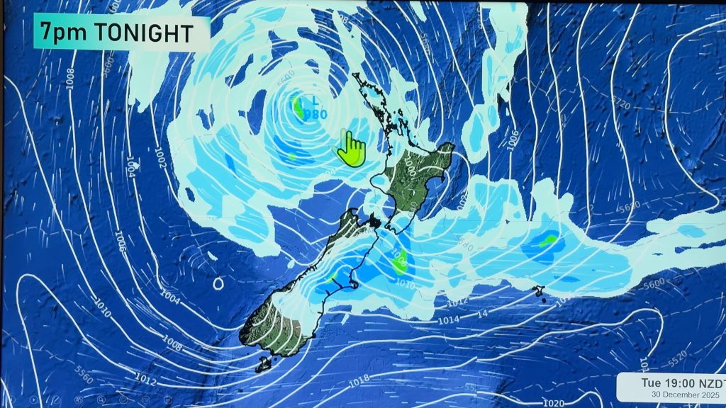
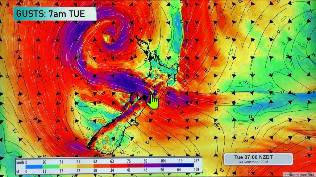
A low passes out to the east of the country today and the airflow changes around to the southerly quarter for the South Island, westerlies for the North Island. Southwesterlies for all of the country on Friday, these will ease then later in the day a weak front moves onto the lower South Island. Anticyclonic conditions for most on Saturday, a weak front brings some cloud to the east coast of the South Island especially in the morning.
Thursday
Blue – Areas of heavy rain about eastern parts of the South Island ease from afternoon. There may be some heavy rain this morning about Nelson / Marlborough and Wellington which eases also, it may just be more of a persistent rain if anything.
Purple – About the east coast of the South Island expect strong to gale southwest winds, about Banks Peninsula from morning and elsewhere along the coast from afternoon. Severe gales possible for some coastal fringes especially Banks Peninsula. A small part of the lower North Island may see strong southwesterlies during the day also.
Yellow – High’s reaching into the mid 20’s during the afternoon for Hawkes Bay and Gisborne.
Friday
Blue – A frosty start about the central South Island, temperatures may dip down to around -1 or perhaps even -2 degrees celcius around dawn.
Purple – Remaining strong coastal southwesterly winds ease away during the morning.
Saturday
Purple – Relatively calm due to anticyclonic conditions. It’ll be a bit cool to start the day inland starting out around 1 to 0 degrees around dawn in the areas marked below.

– Please note, the idea behind this update is to focus on the main weather highlights, which is why not all regions are mentioned.
For specific 10 day information for your city, town, rural community or island please see the 1500 forecasts on our homepage!
– Aaron Wilkinson, WeatherWatch.co.nz
Comments
Before you add a new comment, take note this story was published on 5 Apr 2017.


Add new comment